Green (easy)
Visit the best-preserved coastal village in Ryfylke; Jelsa, with its white-painted wooden houses and a beautiful hand-painted church. Here you can use your phone to scan QR codes in the area for more information about the place, or you can book a guided tour from Ryfylkemuseet. Spend the day, take a swim at the beach, have lunch at Jelsa hotel, pick your own Jelsa Strawberries, and visit the statue of the Jelsa priest by Jelsa school. From the school, follow the marked trail for 30 minutes to the day-trip cabin at Kvilehaugen.
Blue (moderate)
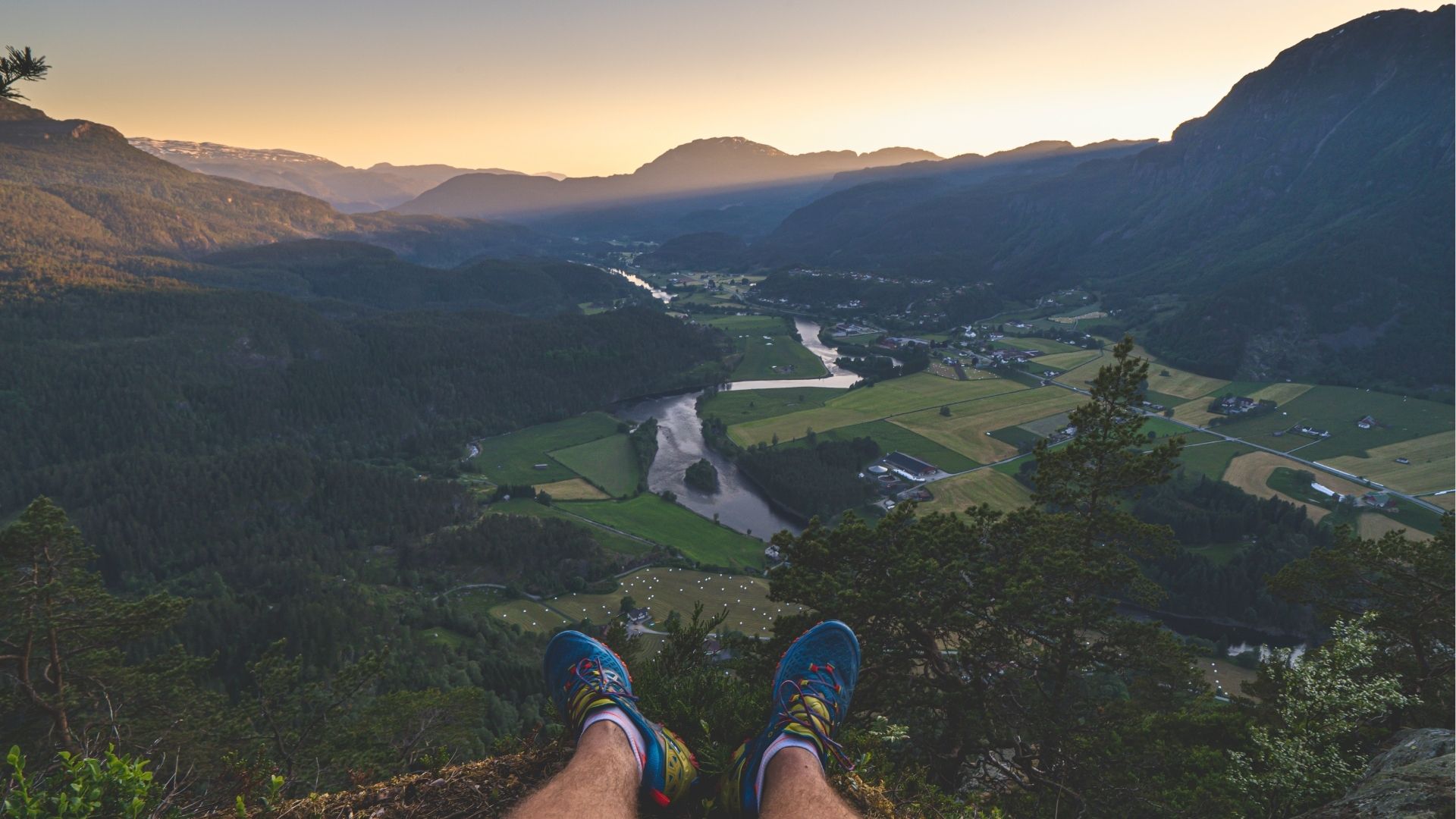
This trip is perfect for those who want a fresh start to the day or a peaceful evening walk. Park at Mo community center in Sandsbygda and follow the tractor road up the hillside. The trail is well-marked, and you follow rocks and soft forest floor to the top of Mosåsen. Here you'll find great views of Sandsbygda and Suldalslågen as it winds its way towards the fjord. On the way back down towards the farms, you can check out old grazing fences. The trip takes approx. 1 hour.
Green (easy)
Experience the power architecture up close on a round trip at Nesflaten. Park at Kilane and see how the power development has impacted village life in the form of functionalist residences, the design hotel Energihotellet, and the "UFO" – Hydro's administration building. Continue over the bridge towards the shop at Nesflaten, and here you can either walk the loop back to Kilane, or you can go down to Suldalsvatnet and watch the large trout rise.
Green (easy)
Førlandsøyane can best be described as a landscape from The Lord of the Rings. Through lush sheep pastures, over small streams, and under deciduous trees, the trail leads from Førland community center out to the "islands". Here you'll pass old fodder storage buildings with turf roofs, and at the end of the trail, there's a good rest bench set up for tired legs. The trip is just as beautiful in summer as in winter, but during the spring flood, Suldalslågen might be so high that you can't get all the way through. In that case, other parts of Førlandsøyane might be just as enjoyable to explore. The trip takes 1.5-2 hours.
Green (easy)
The award-winning Høsebrua bridge is located right by Sandsfossen waterfall and Laksestudio. After crossing the impressive bridge, follow the gravel road along the river towards Garaneset. The walk is easy and can be shortened by turning off the gravel road at Tjelmane Dekkservice/Shell and following the main road back. If you wish to continue along the river, you can walk all the way up to Sandsbygda before following the main road back again. The trip takes 30 to 90 minutes, depending on where you choose to rejoin the main road.
Green (easy)
Park at historic Kvednahola and follow the gravel road along Ritlandsvatnet. There are good swimming spots here, and the water is a pleasant temperature in summer. The road is easy to walk, and at the far end of the lake, you'll reach Vassbotn. Here you'll find a guestbook to sign, benches, and a campfire site for a pleasant break. You can choose to follow the trail and do a round trip via Steine (2.5 hours), or return the same way (1.5 hours).
Green (easy)
Norway's perhaps best-preserved example of functionalist architecture can be seen in the small mountain village of Nesflaten. Park at Kilane and see the "UFO", functionalist houses, and Energihotellet, before crossing the bridge towards the shop and following the road back to Kilane. You can, of course, stop at any point along the way, take a detour down to Suldalsvatnet, or visit the "All verdas" shop. The trip takes approximately 30 minutes.
Green (easy)
Start in Sand town center and follow the signs to Eide and then down towards Høse bridge and Sandsfossen. Along the way, you'll find QR codes you can scan to learn more about the area. A hiking map can be found under "hiking" here on the website. The trip takes anywhere from 1-2 hours, depending entirely on how far you wish to walk.
Green (easy)
Follow the cultural-historical trail around Grytevatnet and scan QR codes to learn more about the area. The terrain is easy to walk, and the trip takes approximately 2 hours. Follow signs from the main road to find parking.
Green (easy)
Park by the transformer station at Sandviktunnelane. From here, there is a well-marked trail both for the hike around Vardaheia and to Kammen. Easy terrain and a nice path lead you out of the forest to Kammen – offering great fjord views and a pleasant resting area. The hike takes approximately 1 hour. Enjoy your hike!
For more information about hiking maps, check out "Hiking" on our page. Here you can download free hiking maps, or pick them up at Suldal Tourist Information. Remember to act responsibly, show consideration, and be environmentally conscious. Enjoy your hike!
No items found.


Gata 22, 4230 Sand (Summer season)
Sandsvegen 134, 4230 Sand (All year)
Tel: (+47) 995 63 001
E-mail: suldal@visitsuldal.no