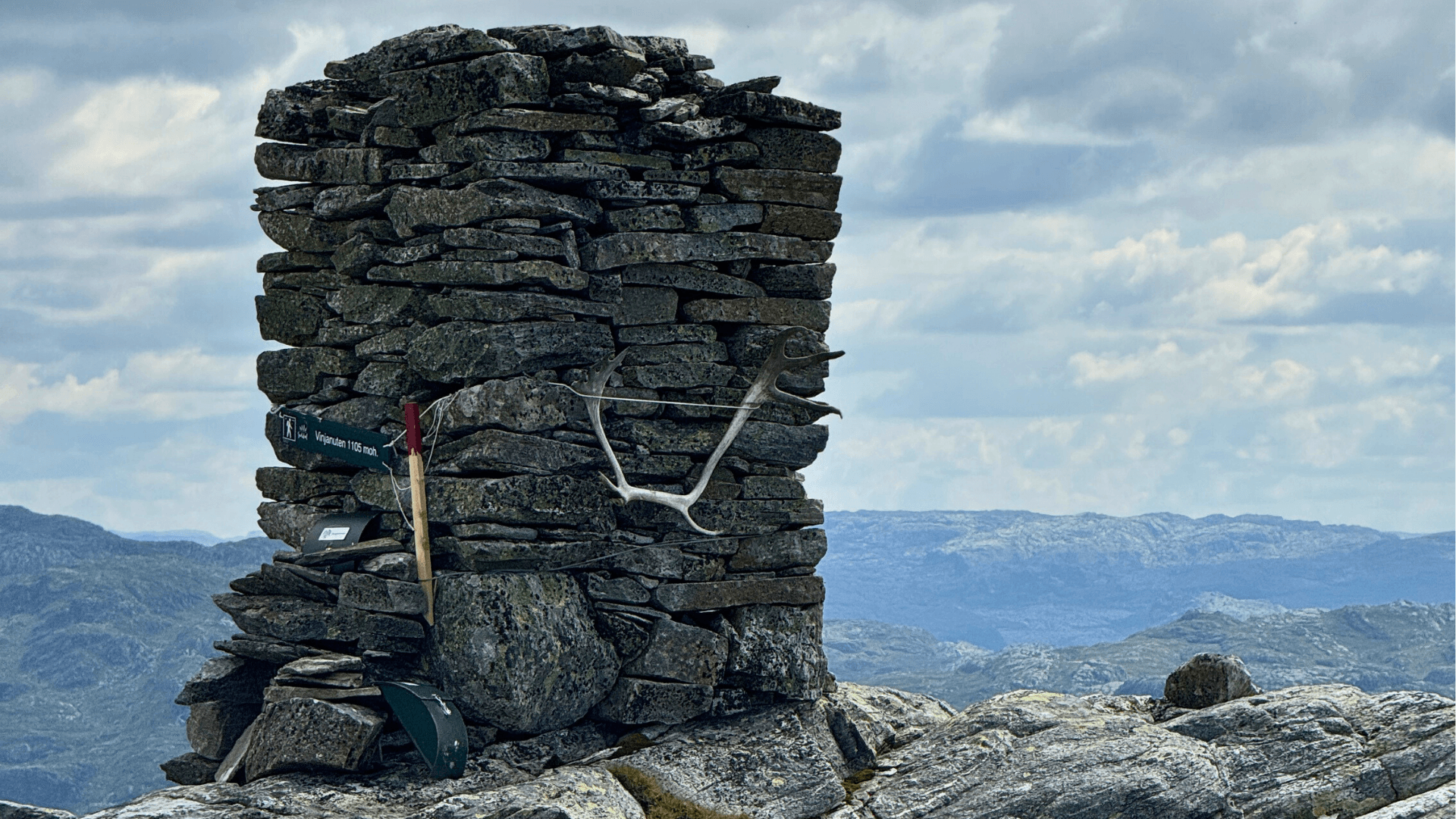
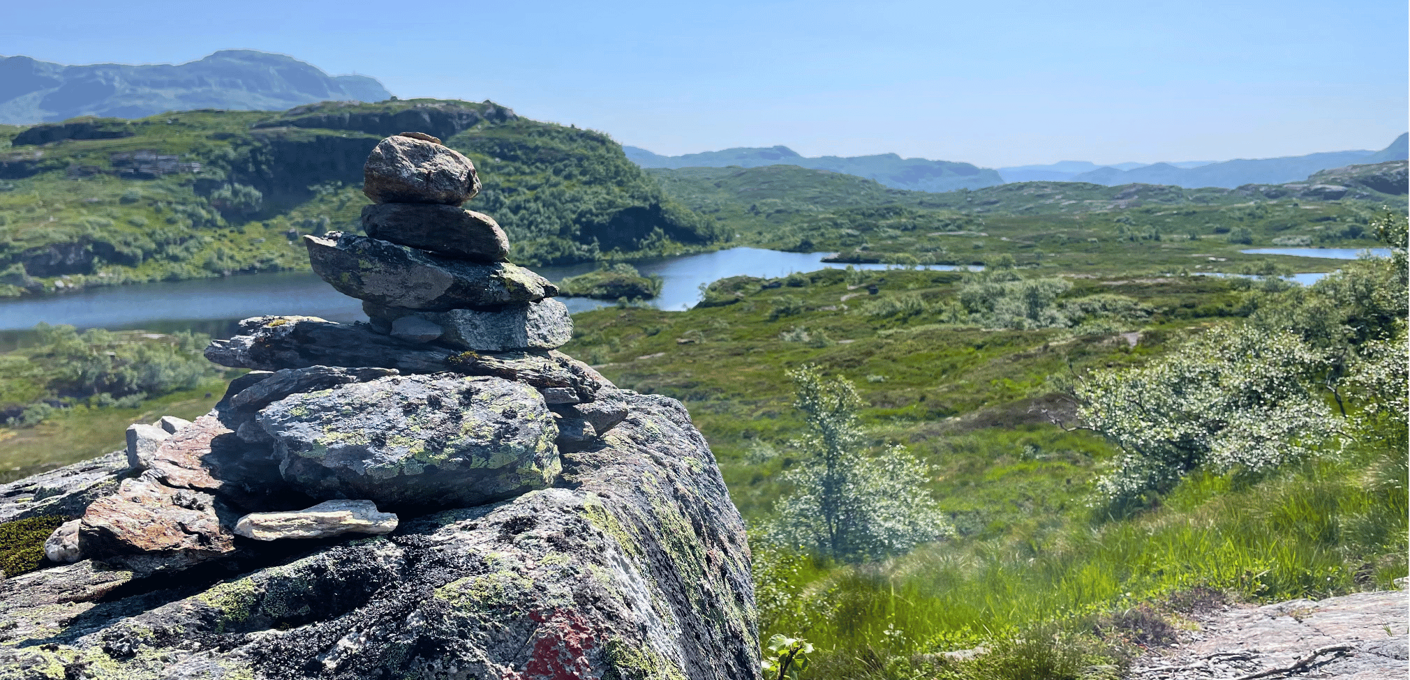
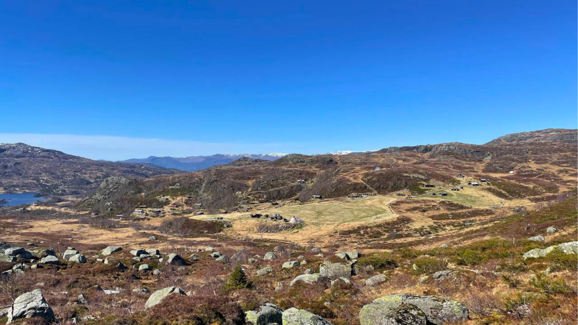
Suldalsosen is located along Rv 13 by Suldalsvatnet, approximately 20 km from the municipal center Sand. The flat valley floor is surrounded by forests and high mountains, with Vinjanuten being the highest at 1105 meters above sea level. Suldalsosen offers hiking trails for every taste, along Western Norway's most water-rich river and one of Norway's deepest lakes, up mountain peaks, and through exciting terrain.
The hiking map you can download here. You can also get the maps at Suldal tourist information and selected stores.
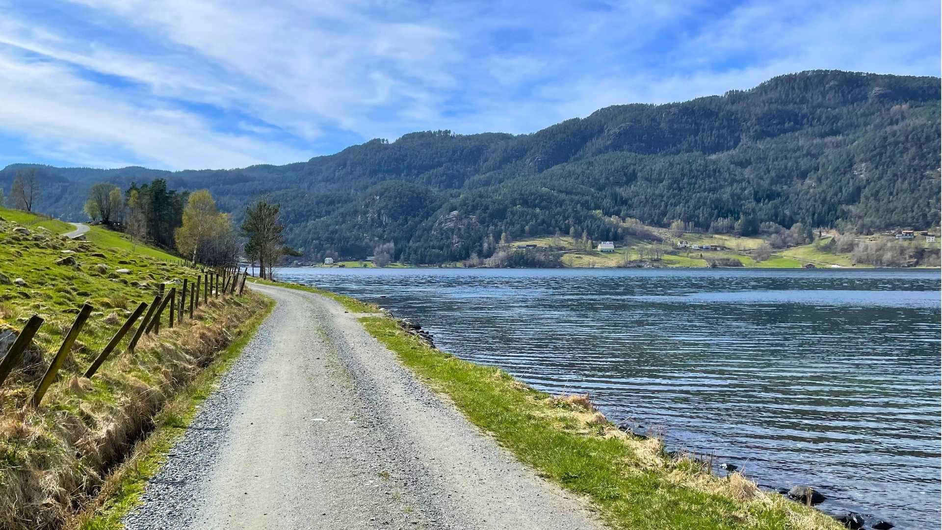
Well-prepared: Several routes on the hiking map are well-prepared. Trail 6A follows a wide, gravel path. Expect some ascent here. During parts of the year, the starting point for the hike is covered by the river. Trail 4 follows a wide, paved road.
Suldalsosen Hiking Map
Choosing experiences and accommodations with the "Reis Grønt" (Travel Green) label ensures that the businesses you support take active environmental responsibility.See all certified businesses here.
By clicking «Accept», you agree to the storage of cookies. Cookies are used to improve site navigation and collect user statistics for the website to enhance content and user experience. You can manage your preferences by clicking on Preferences. Read our Privacy Policy for more information.












.jpg)













.jpg)