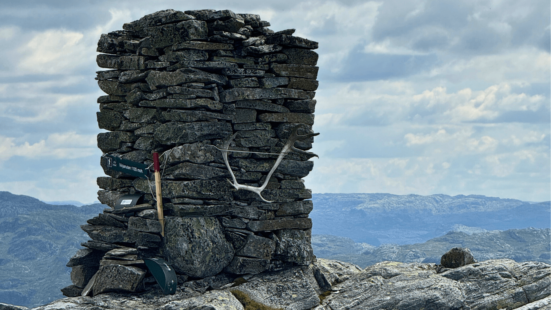
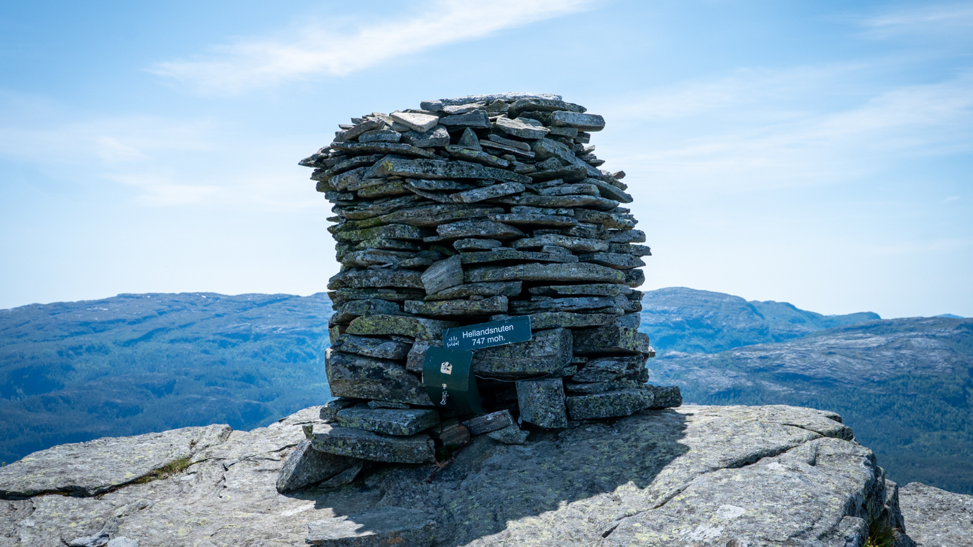
Sand, the municipal center of Suldal, is located by Sandsfjorden and is the heart of Suldal municipality. Sand is surrounded by forested areas and high mountains, with Hellandsnuten (747 masl) being the highest. Here we present a selection of easy and more challenging marked hikes in the area. In Sand, you will find shops, petrol stations, hotels, and dining options.
Download the hiking map for Sand here. You can also get the hiking map at Suldal tourist information and selected shops.
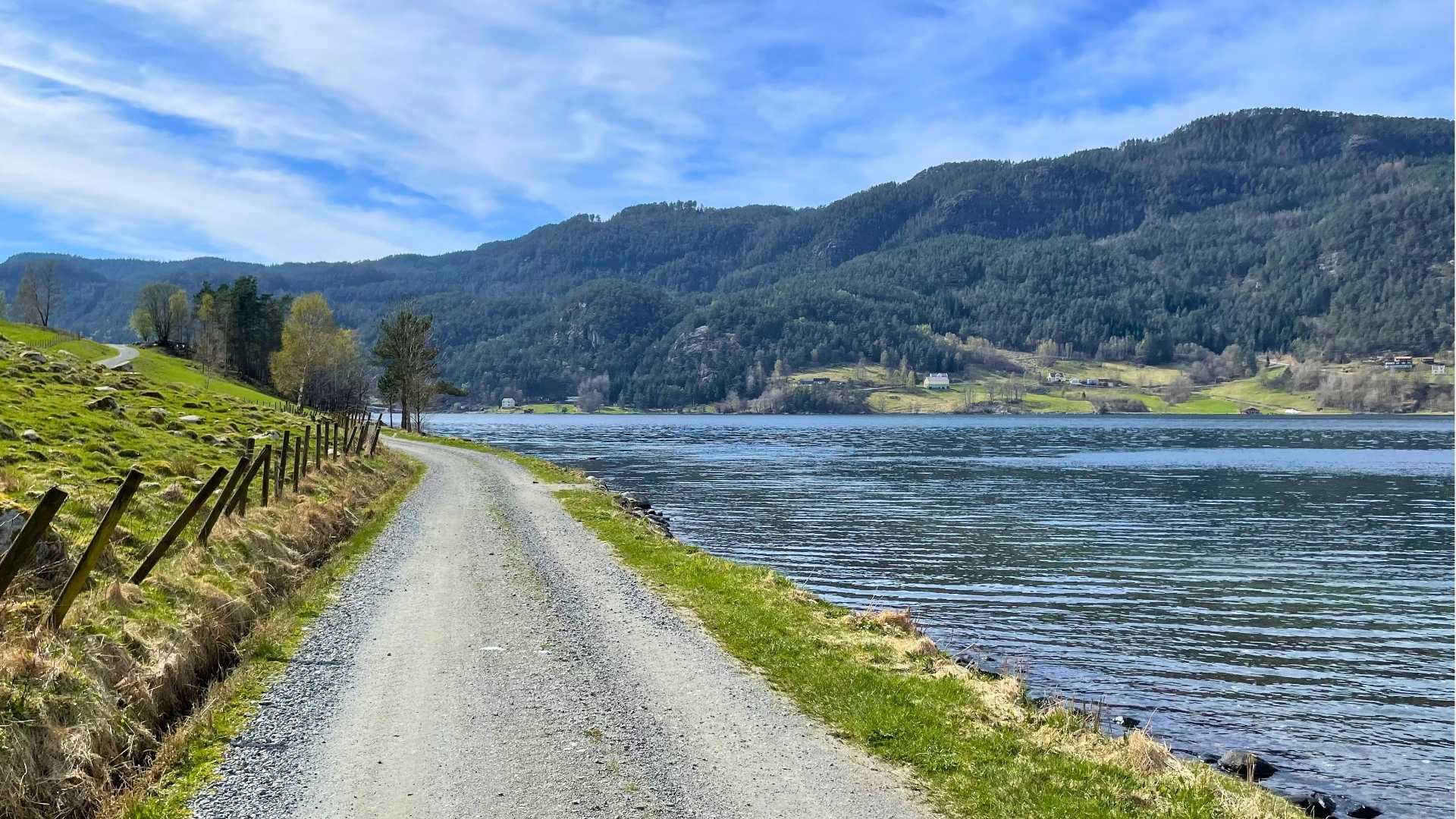
Well-prepared: The trails in Sand town center are well-prepared. Here, the route follows a flat and wide path, which is asphalted or gravelled. For the Sand safari route, some ascent must be expected.
Hiking Map Sand
Choosing experiences and accommodations with the "Reis Grønt" (Travel Green) label ensures that the businesses you support take active environmental responsibility.See all certified businesses here.
By clicking «Accept», you agree to the storage of cookies. Cookies are used to improve site navigation and collect user statistics for the website to enhance content and user experience. You can manage your preferences by clicking on Preferences. Read our Privacy Policy for more information.












.jpg)













.jpg)