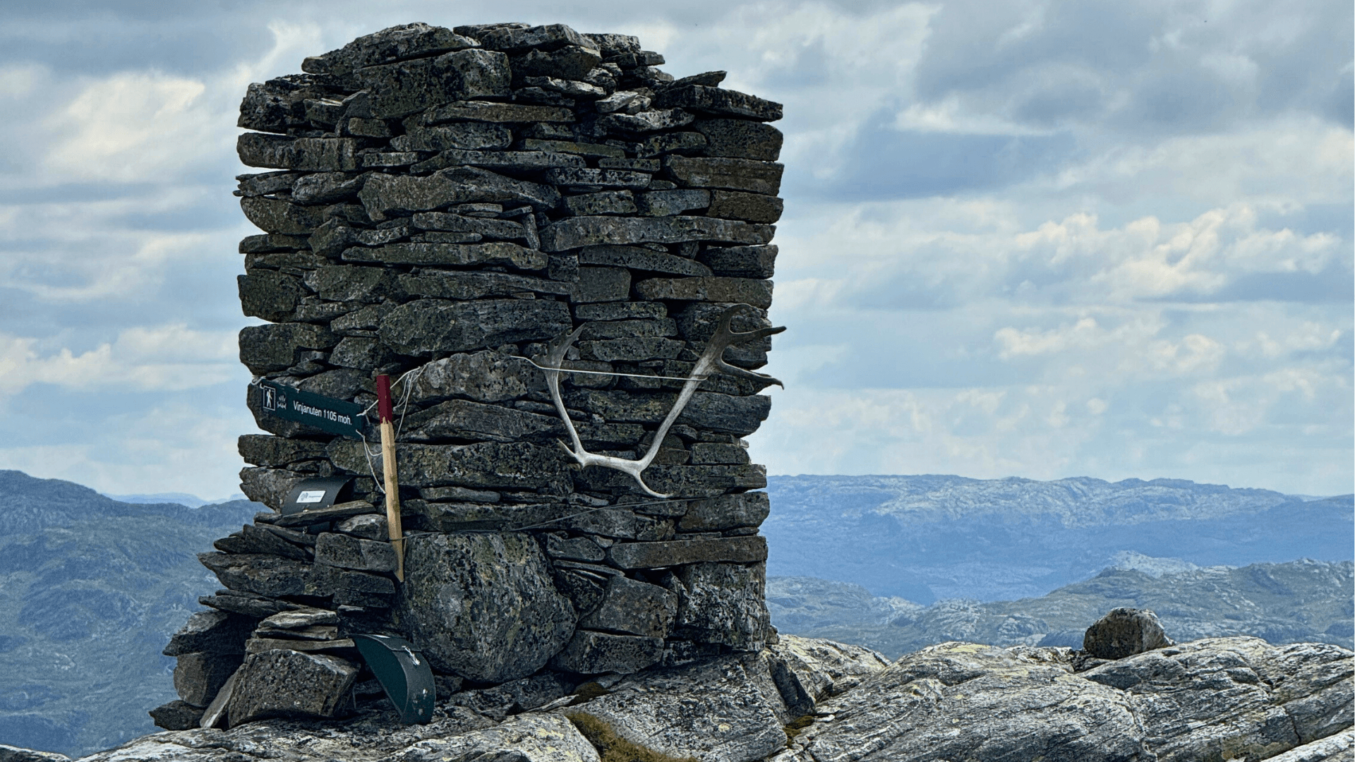
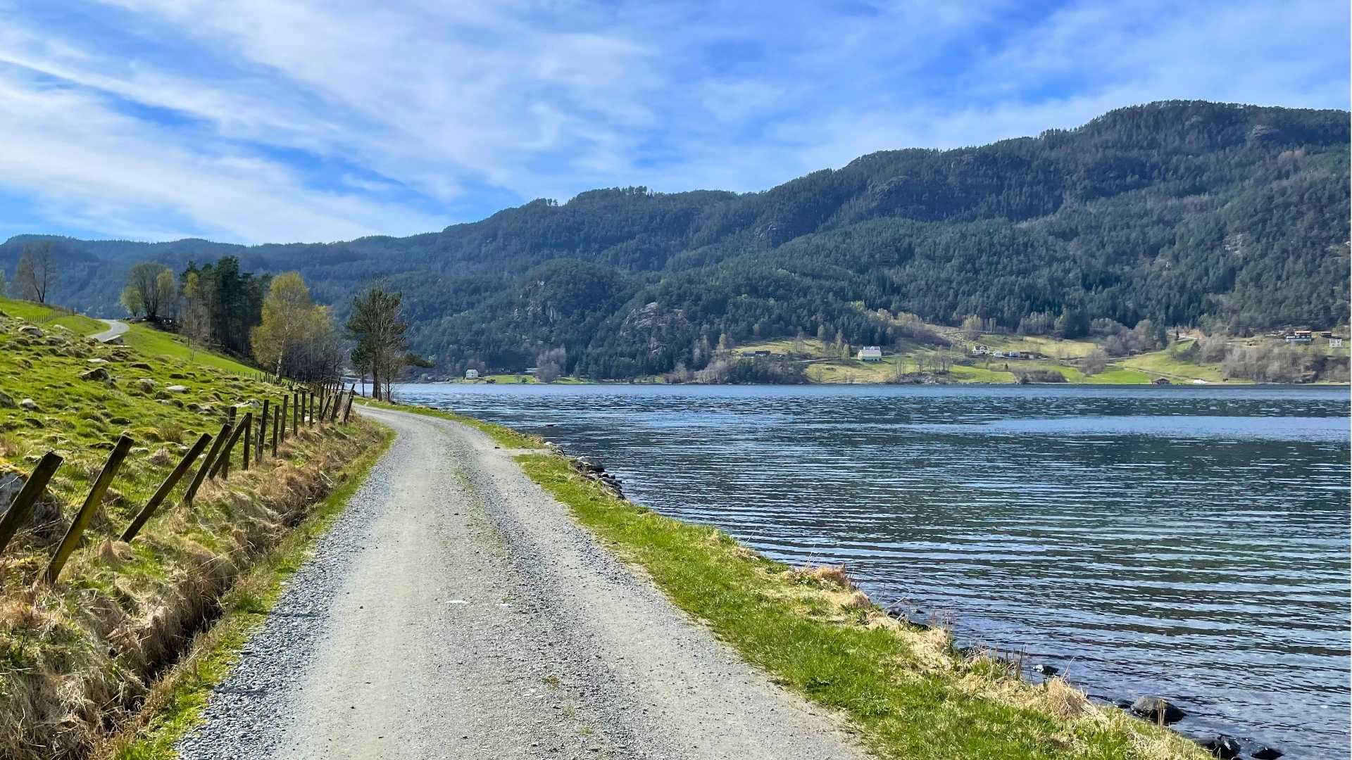
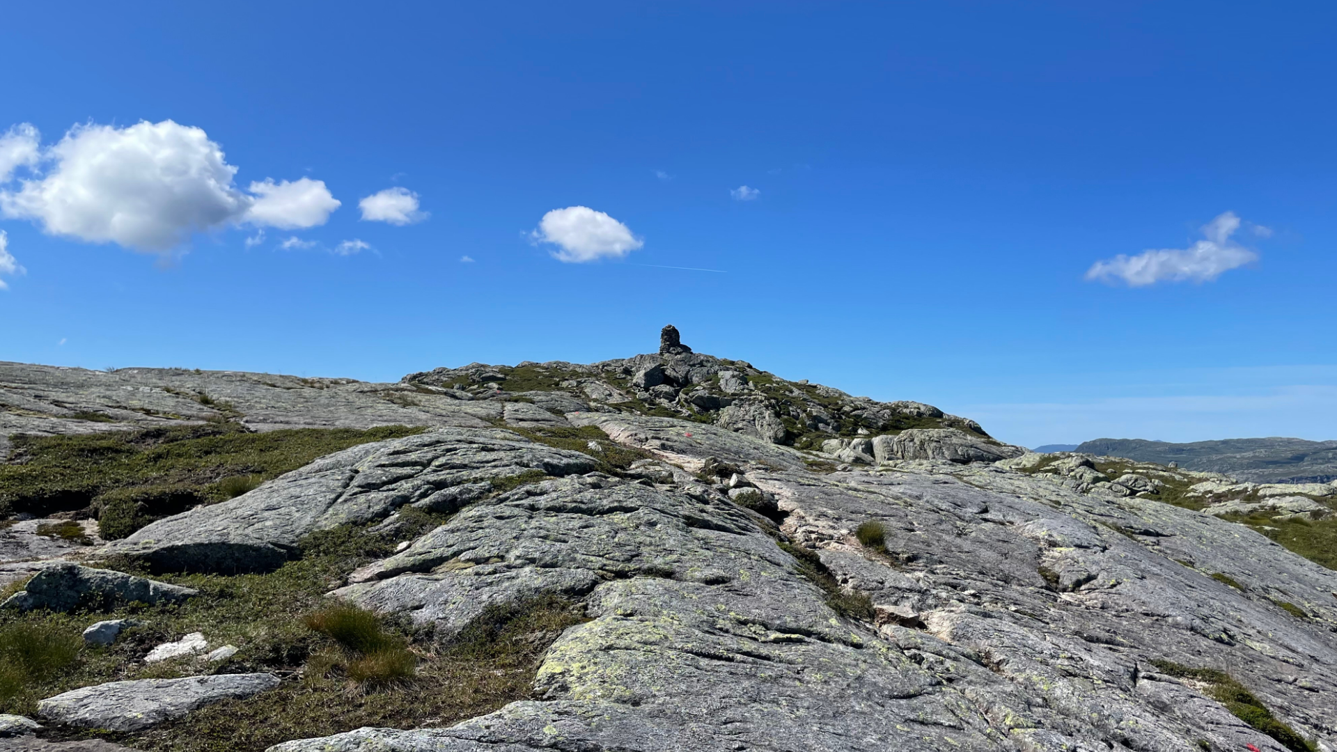
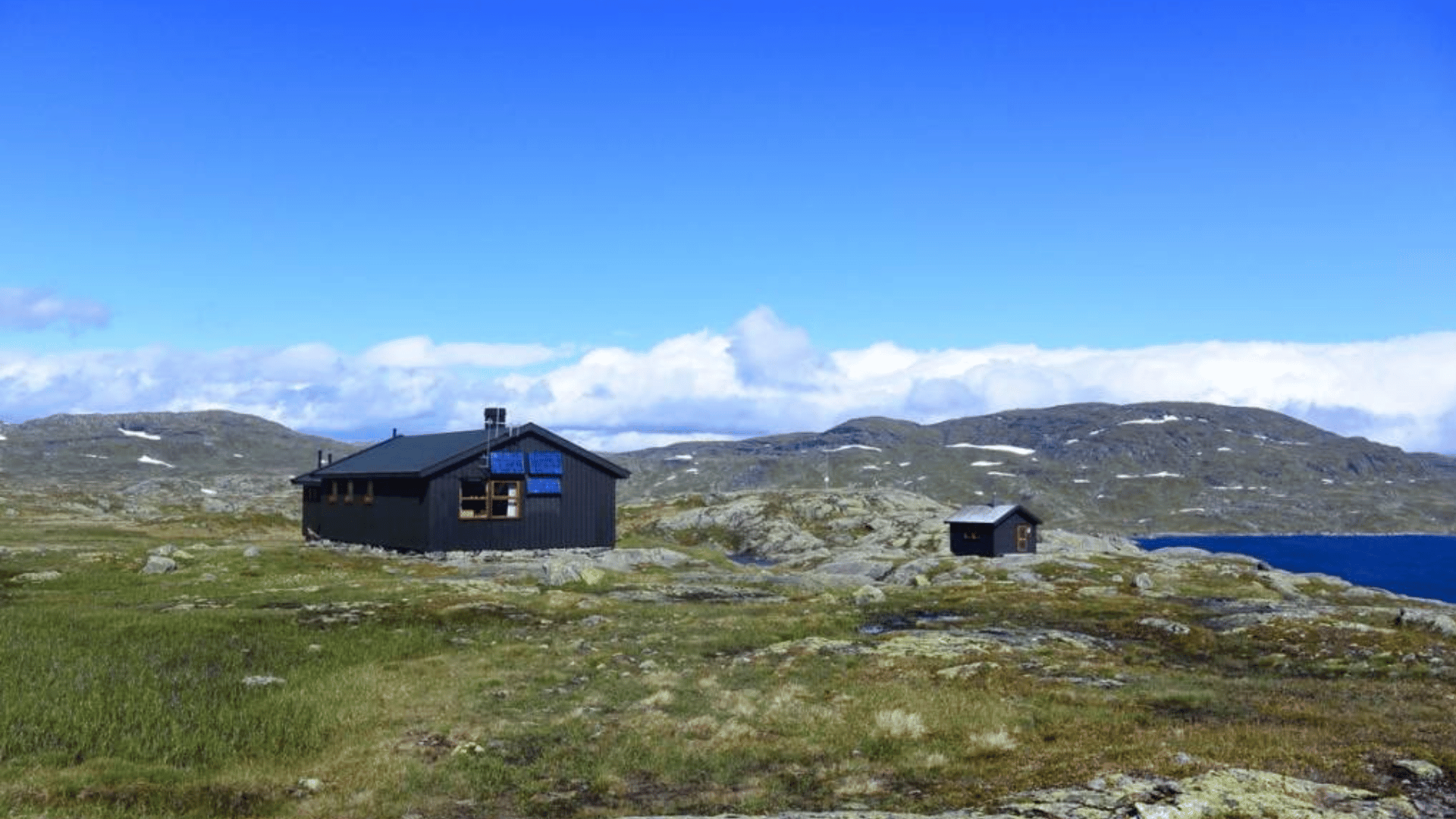
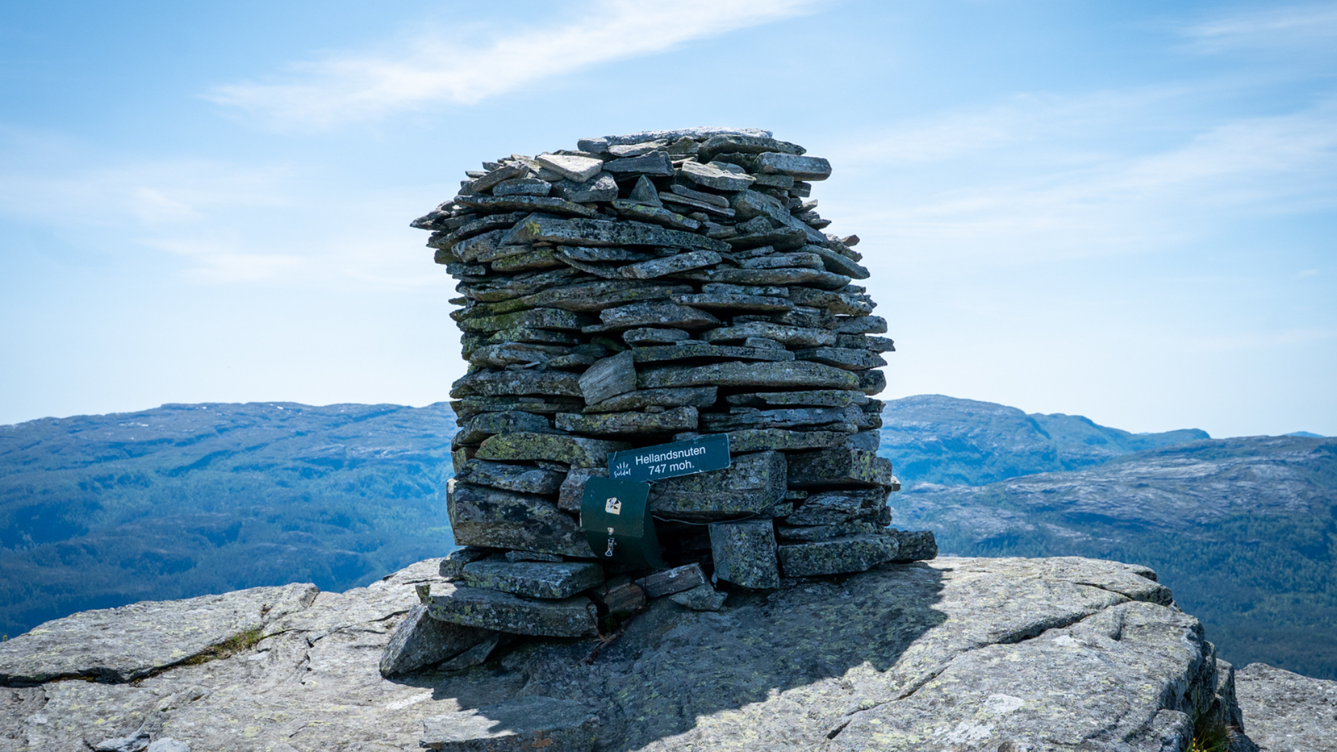
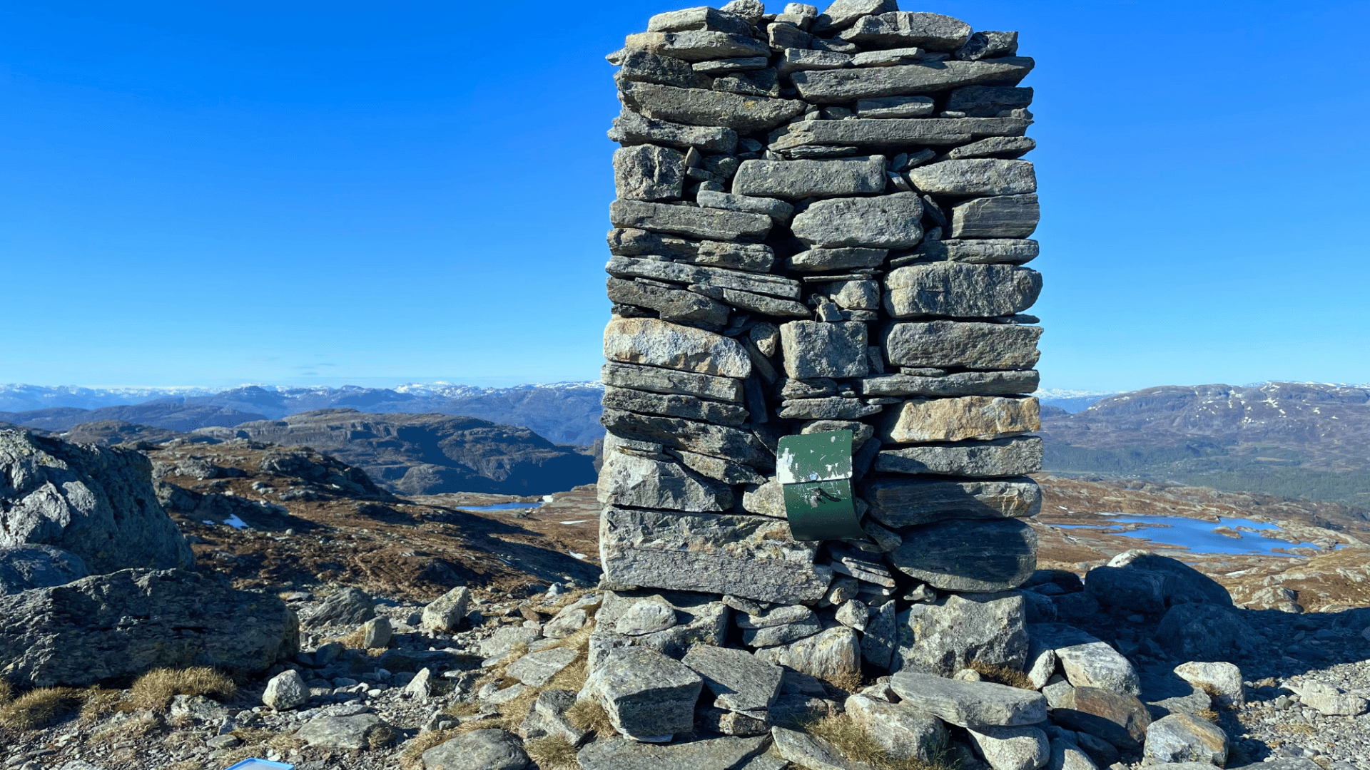
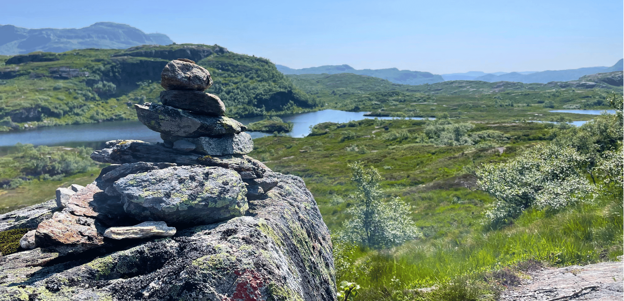
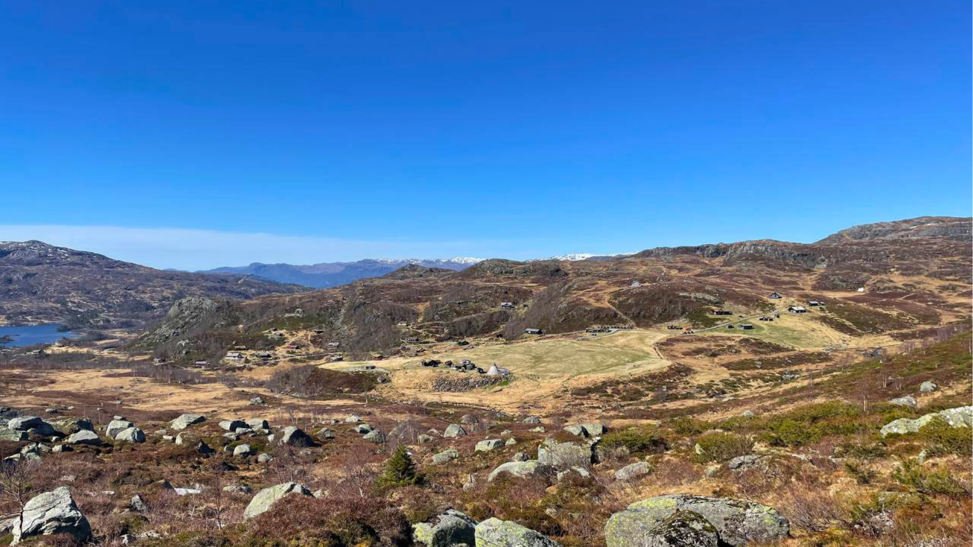
Ropeidhalvøyais located southwest in Suldal municipality, with Vindafjorden and Sandsfjorden as its closest neighbors. The peninsula stretches from Helland in the north to Hebnes in the south and Ropeid in the east. A trip to Ropeidhalvøya offers great swimming and hiking experiences, hunting and fishing right outside your door, and encounters with chieftains and hillforts from the Early Iron Age.
Download the map for Ropeidhalvøya here. You can also get the map at Suldal tourist information and selected stores.
Hiking map Ropeidhalvøya
Choosing experiences and accommodations with the "Reis Grønt" (Travel Green) label ensures that the businesses you support take active environmental responsibility.See all certified businesses here.
By clicking «Accept», you agree to the storage of cookies. Cookies are used to improve site navigation and collect user statistics for the website to enhance content and user experience. You can manage your preferences by clicking on Preferences. Read our Privacy Policy for more information.









.jpg)






.jpg)