In the 1960s, the village was home to the Røldal-Suldal Power development, which has left its mark on Nesflaten to this day with architecture that differs from what one would expect of building styles in a West Norwegian village. A trip to Nesflaten offers residential areas and power plants in a functionalist style, great experiences close to Lake Suldal, and proximity to the Ryfylkeheiane mountains.
You can download the hiking map for Nesflaten by clicking here. You can also get the map at Suldal tourist information and selected shops.
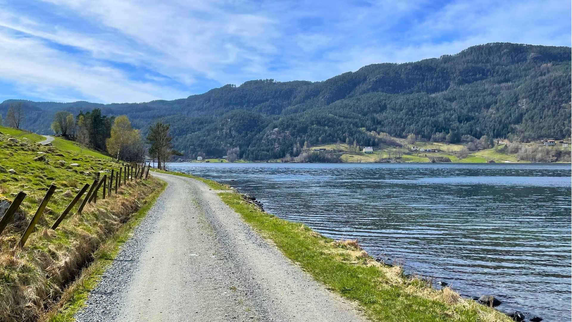
Well-prepared: The walk in Nesflaten center is well-prepared. Here, the path follows a flat and wide trail, which is asphalted or graveled. There is a bridge on the way, which is also wide.
No items found.


Gata 22, 4230 Sand (Summer season)
Sandsvegen 134, 4230 Sand (All year)
Tel: (+47) 995 63 001
E-mail: suldal@visitsuldal.no









.jpg)






.jpg)