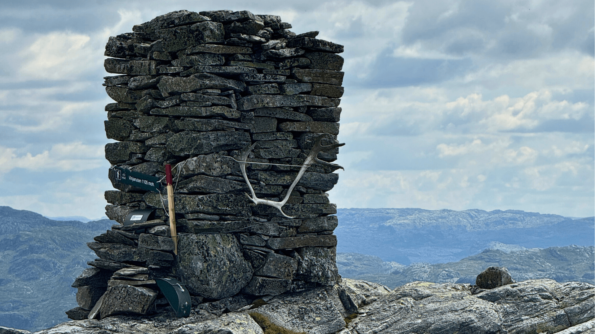
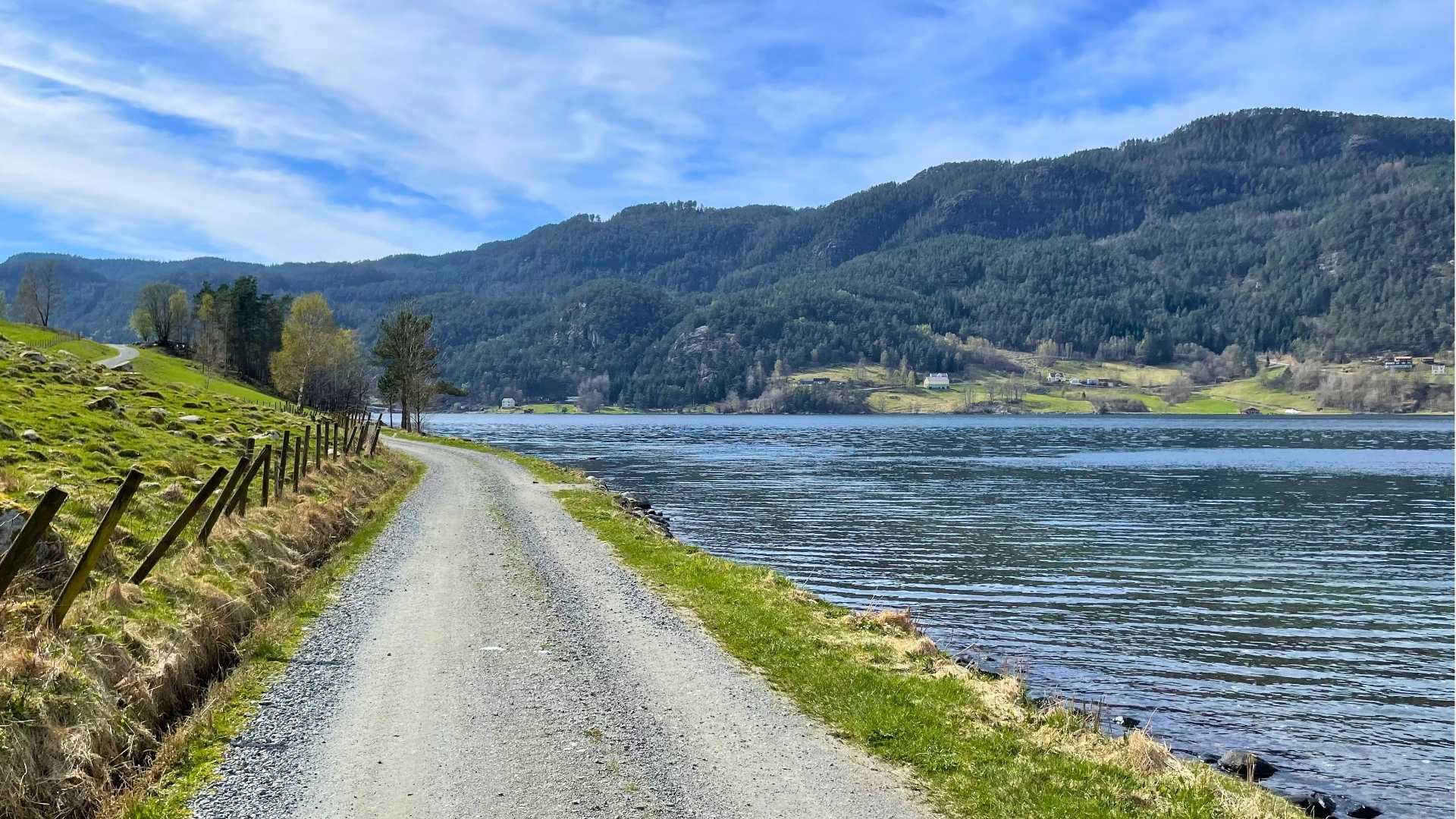
Erfjordis located in an arm of Boknafjorden, surrounded by Erfjorden, Bogsfjorden, and Tyssefjorden. Here you'll find great hiking areas, Habn beach, a salmon river, and a museum farm. During the summer season, Erfjord is a paradise for boat tourists and fjord enthusiasts. The Ryfylke National Tourist Route passes through Erfjord via the iconic suspension bridge, Erfjord Bridge.
You can download the hiking map for Erfjord by clicking here. You can also get the map at Suldal tourist information and selected shops.
Erfjord hiking map
Choosing experiences and accommodations with the "Reis Grønt" (Travel Green) label ensures that the businesses you support take active environmental responsibility.See all certified businesses here.
By clicking «Accept», you agree to the storage of cookies. Cookies are used to improve site navigation and collect user statistics for the website to enhance content and user experience. You can manage your preferences by clicking on Preferences. Read our Privacy Policy for more information.








.jpg)






.jpg)