.jpg)
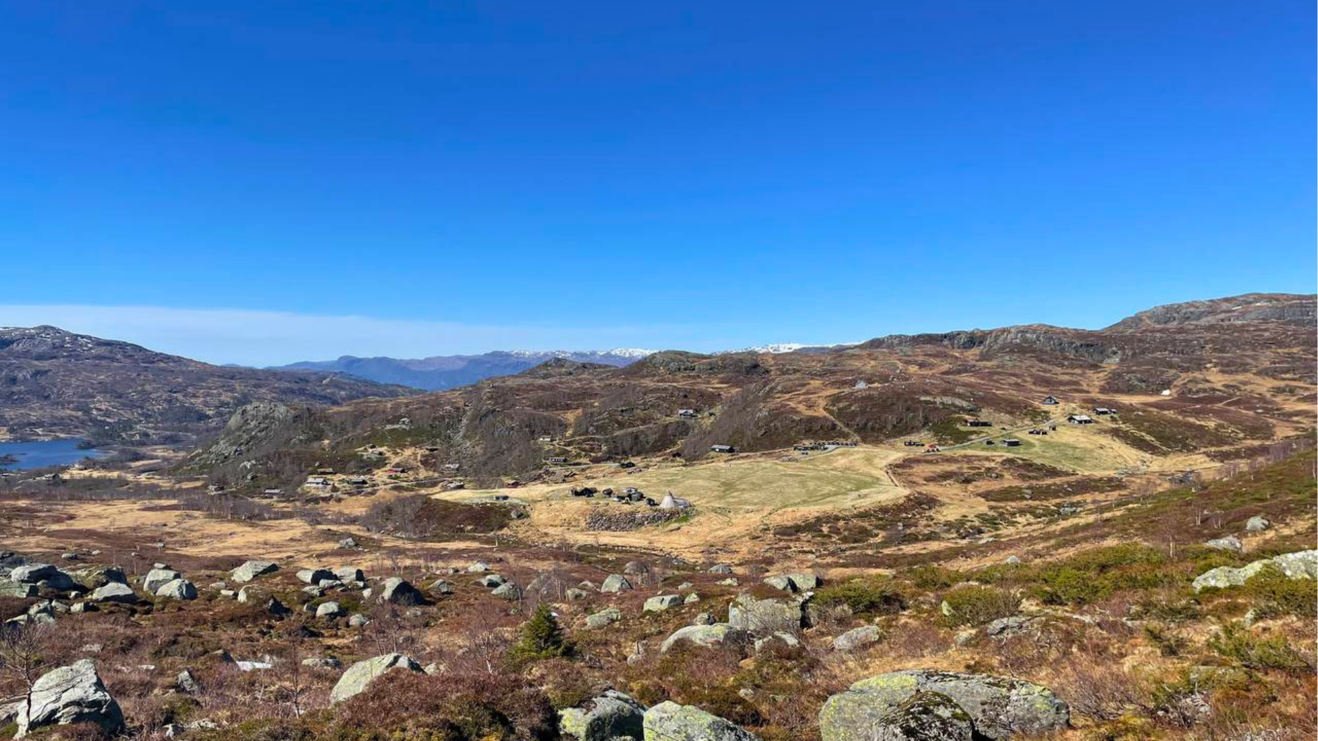
You can visit Napen as a day trip or include it as a peak hike on an overnight trip between Sandsa and Stranddalen. The trip is also possible in winter and is popular as a ski touring destination in spring.
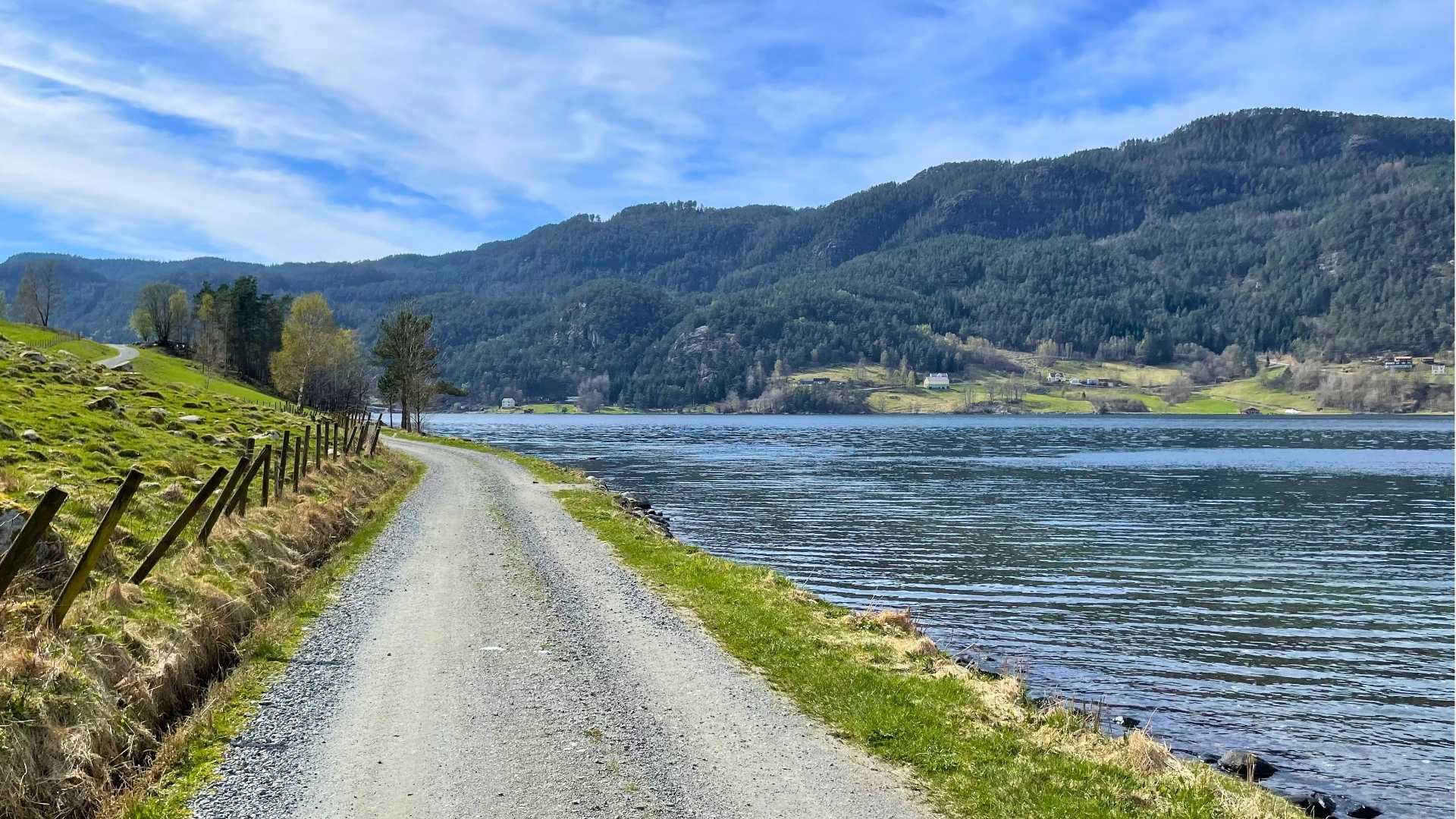
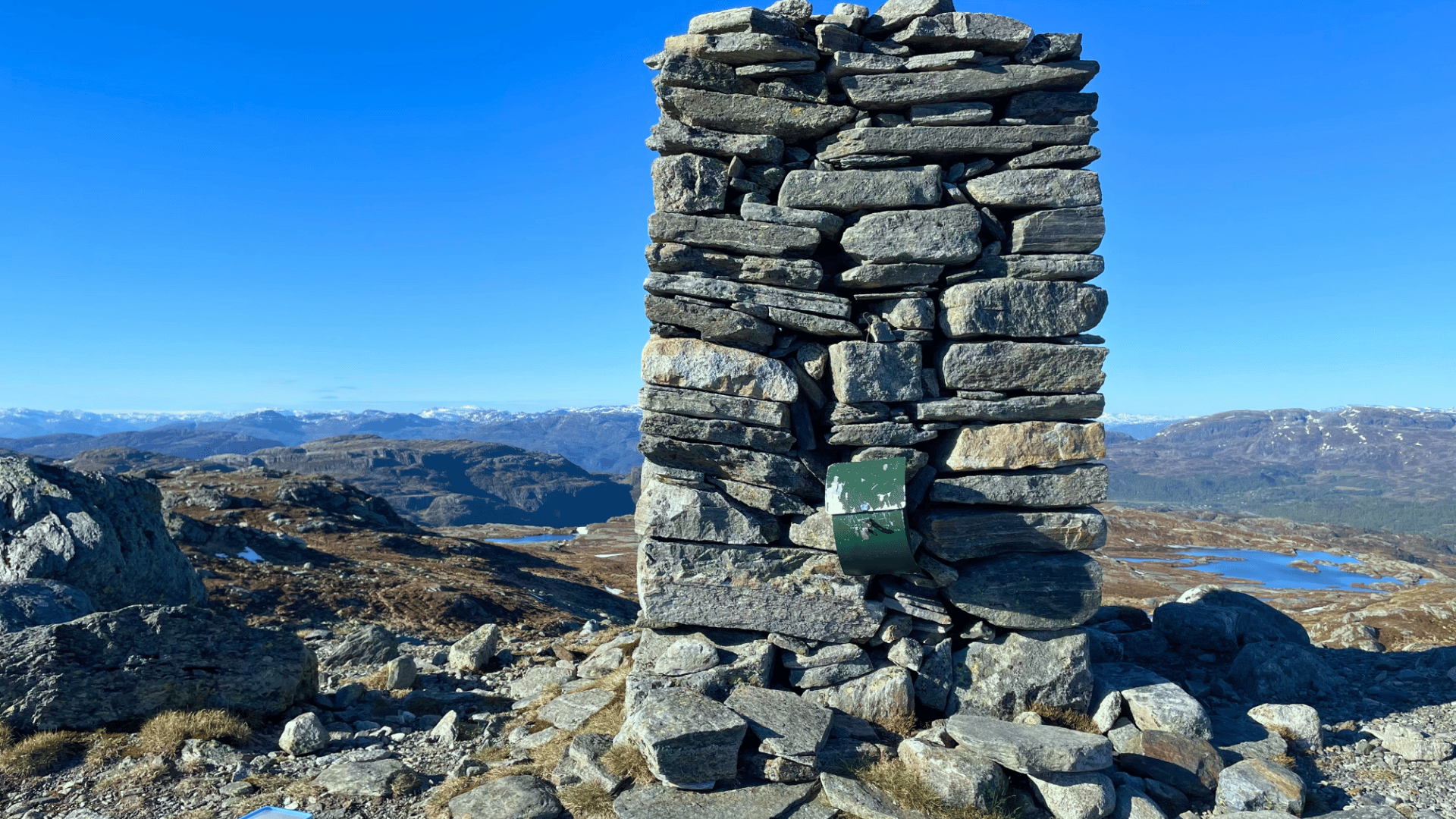
Drive past Sandsavatnet. Continue on the construction road until you start the descent towards Nedre Moen. From here, an unmarked trail leads up to Buarekvelven. Here you'll find rich plant life with many calciphilous species. You'll meet the marked trail from Sandsa at Midtskardet, and from the pass, there's a detour up to Napen at 1350 meters above sea level. You can extend the trip by taking a slightly longer return route. Then follow the trail further to Lånene and turn off the marked trail here. Head directly south towards Nibbesteinheia and down to the parking area on Blåsjøveien.
Time: 5 hours
Distance: 4 km.
Grading: Demanding (Red)
Highest point: 1350 meters above sea level
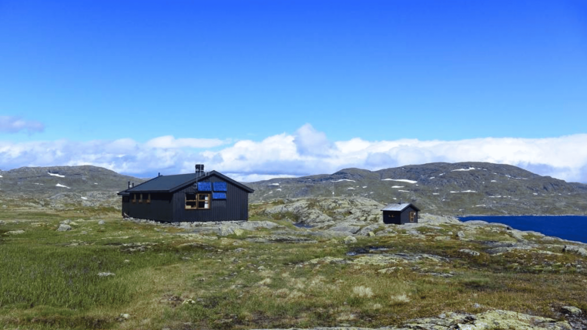
Sandsa – Stranddalen (via Napen). Follow the route from Sandsa to Steinstølen, where you park at Osane. The hike starts by crossing the river that flows from Svinstølvatnet and Grunnavatnet. Continue uphill to Lånestølen and then to Midtskaret. From the pass, there's a detour up to Napen. Once back down, you can choose to follow the marked trail to Stranddalshytta, or return to Sandsahytta.
Time: 5-6 hours
Distance: 7 km.
Difficulty: Challenging (Red)
Highest point: 1350 m.a.s.l.
Access: By car, turn off from Rv 13 towards Blåsjø. Drive to Sandsavatnet.
No items found.


Gata 22, 4230 Sand (Summer season)
Sandsvegen 134, 4230 Sand (All year)
Tel: (+47) 995 63 001
E-mail: suldal@visitsuldal.no















.jpg)