.jpg)
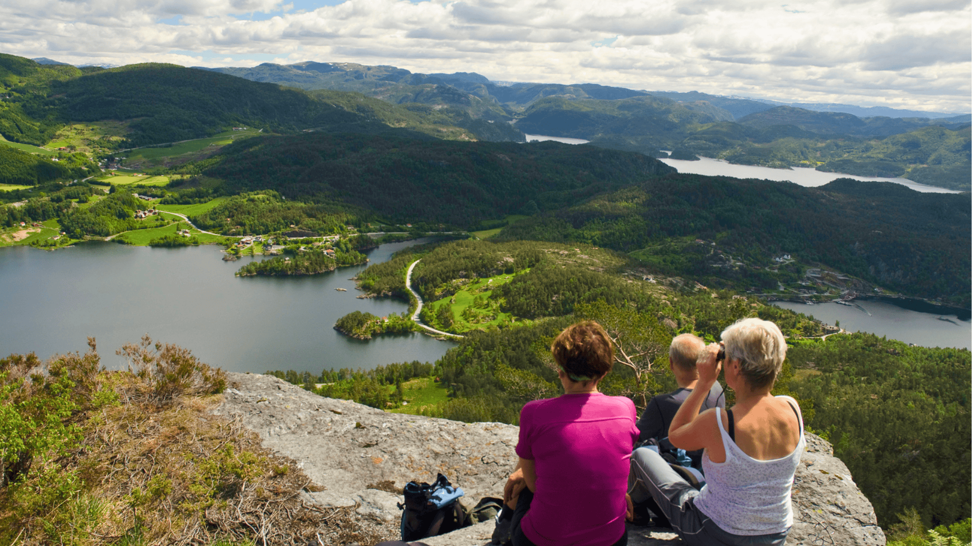
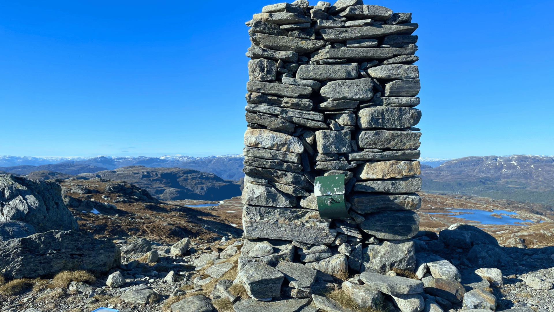
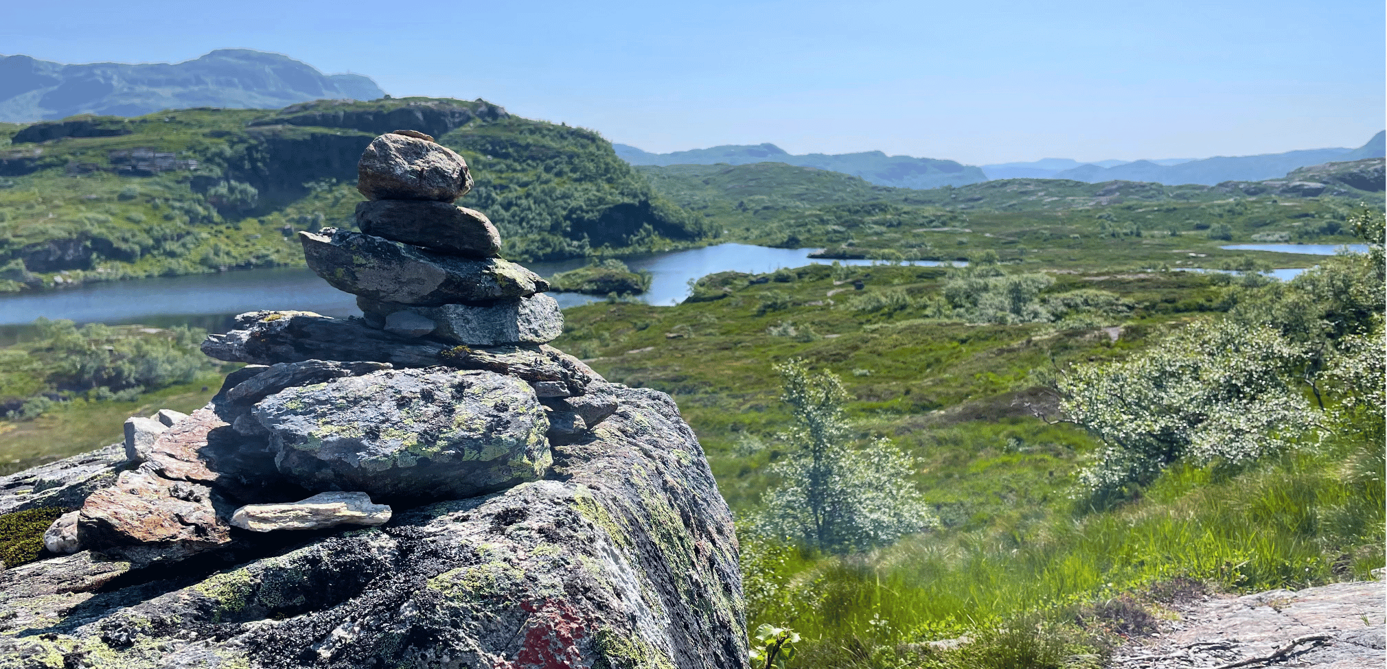
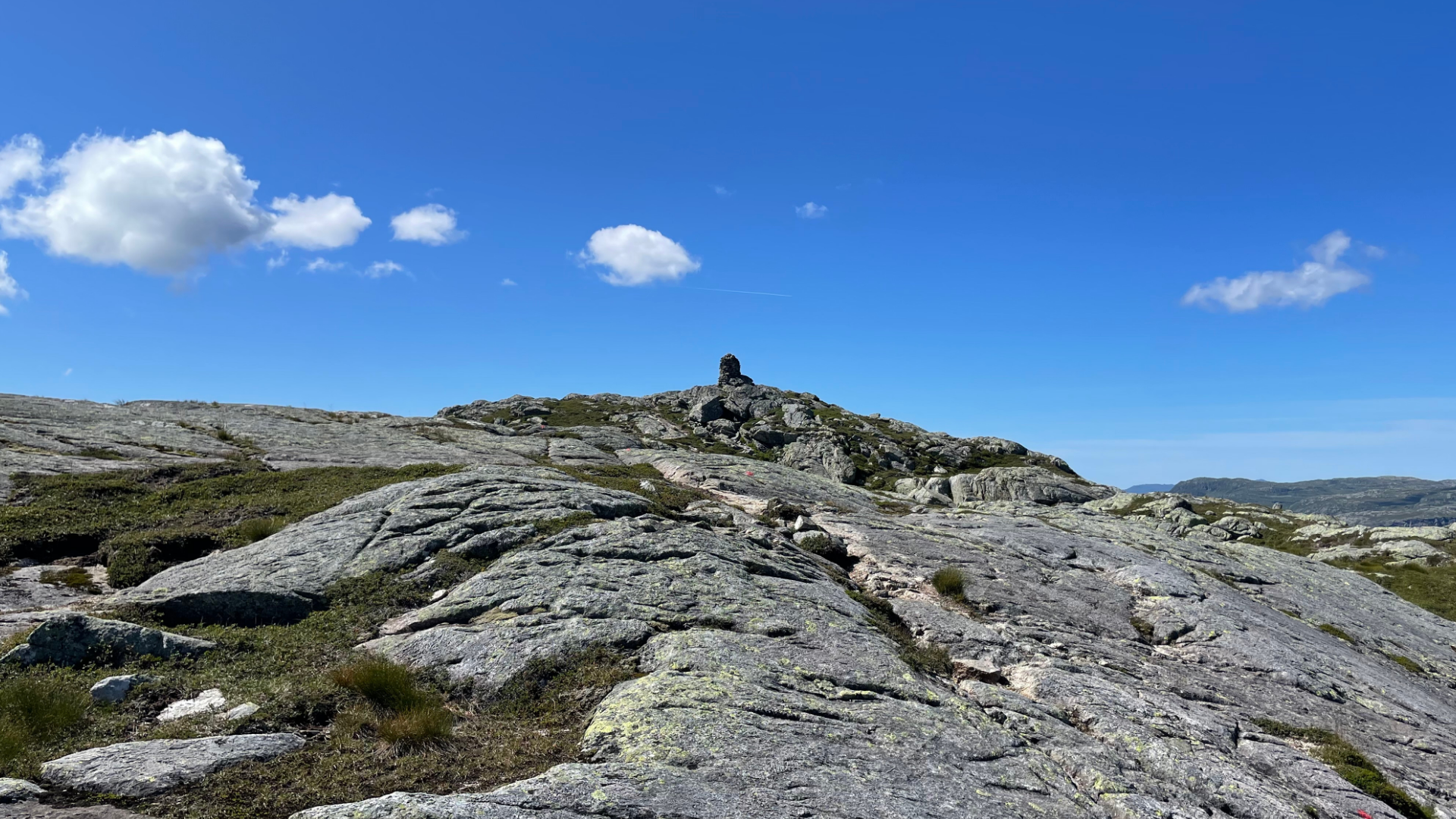
The hike from Østebøneset up to Grytenuten (from the west side) is a longer option, but the route is often considered more scenic, and the ascent is not as steep from the start. You begin the hike by parking by the main road in the area marked at Østebøneset, along the road between Hebnes and Vormestrand. The hike takes you past Melenuten, and a detour to Fossenibba is also a great experience.
From the peak, you can go back down the same way or take the trail down towards Kjølvikstølen.
Time: 6-7 hours,
Distance: 14 km
Difficulty: Challenging (red)
Highest point: 862 m.a.s.l.
Access: By car to Ropeidhalvøya, between Hebnes and Vormestrand.
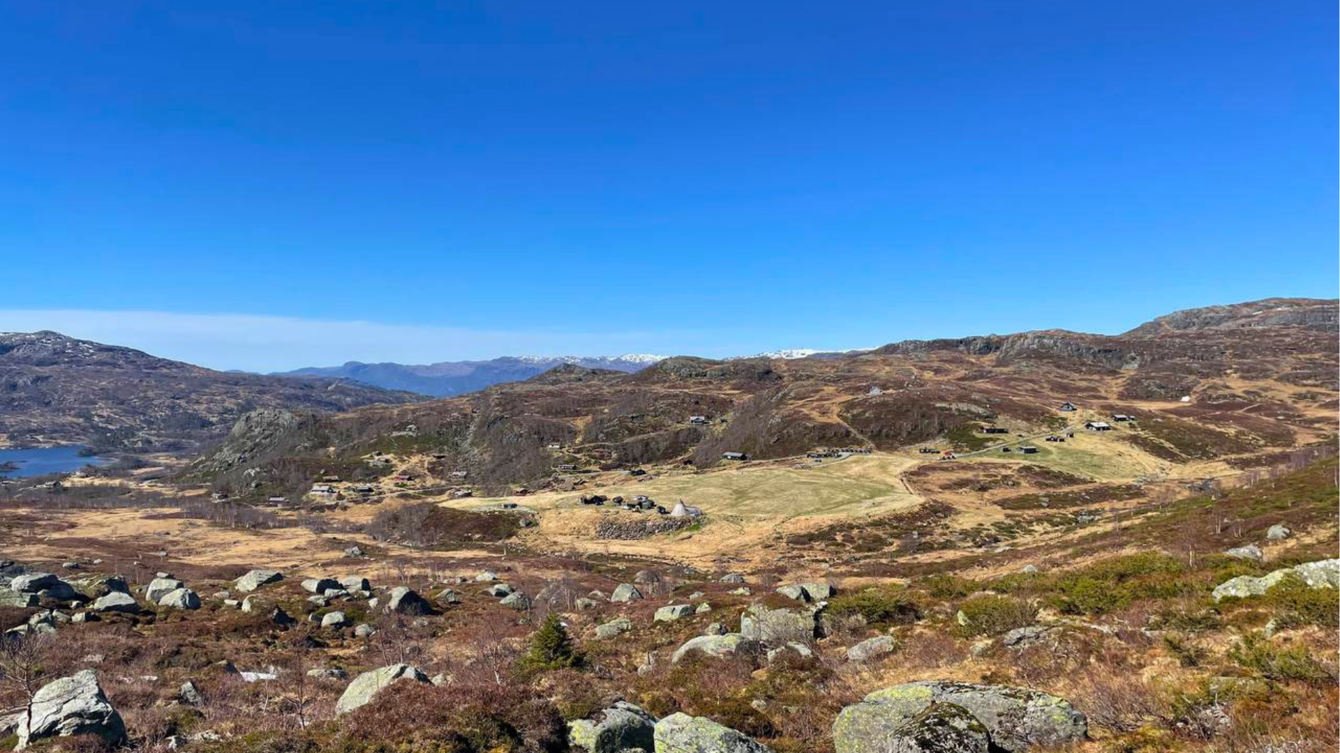
The Kjølvikstølen-Grytenuten route is shorter than the one from Østebøneset, but the ascent from the start is more demanding, and some sections require caution. The hike starts at Kjølvikstølen, where you can park by the community center. A trail to the right of the parking lot leads you to the route.
From the summit, you can go back down the same way, or continue down towards Østebøneset.
Time: 5 hours
Distance: 8 km
Difficulty: Challenging (red)
Highest point: 862 m.a.s.l.
Access: By car to the Ropeid peninsula. Stop between Vatlandsvåg and Hebnes.

No items found.


Gata 22, 4230 Sand (Summer season)
Sandsvegen 134, 4230 Sand (All year)
Tel: (+47) 995 63 001
E-mail: suldal@visitsuldal.no









.jpg)