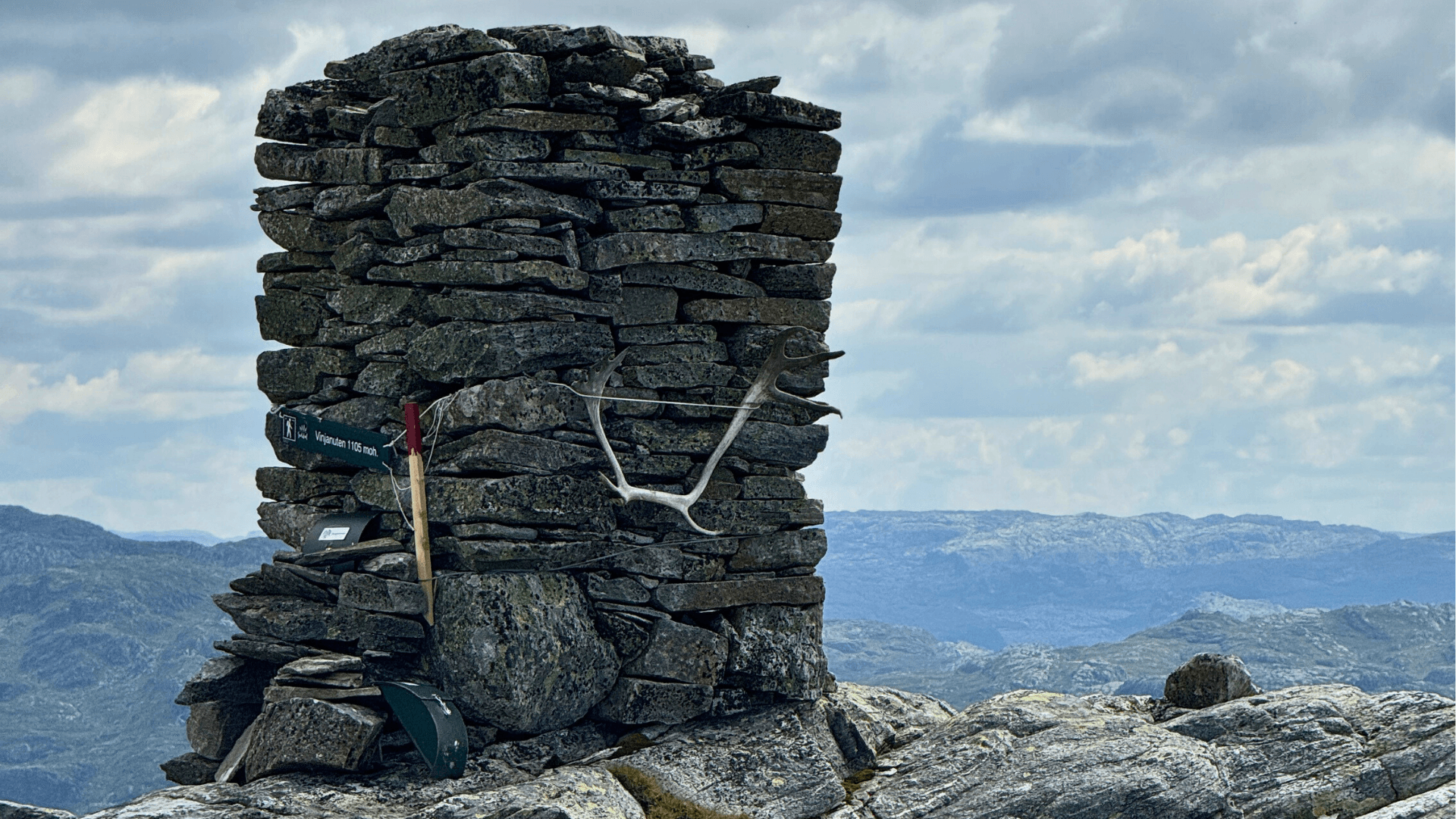
Hiking Map Sand. Sand is the municipal center of Suldal, located by Sandsfjorden and surrounded by forests and high mountains. The hiking map provides an overview of easy and challenging marked hikes in the area.
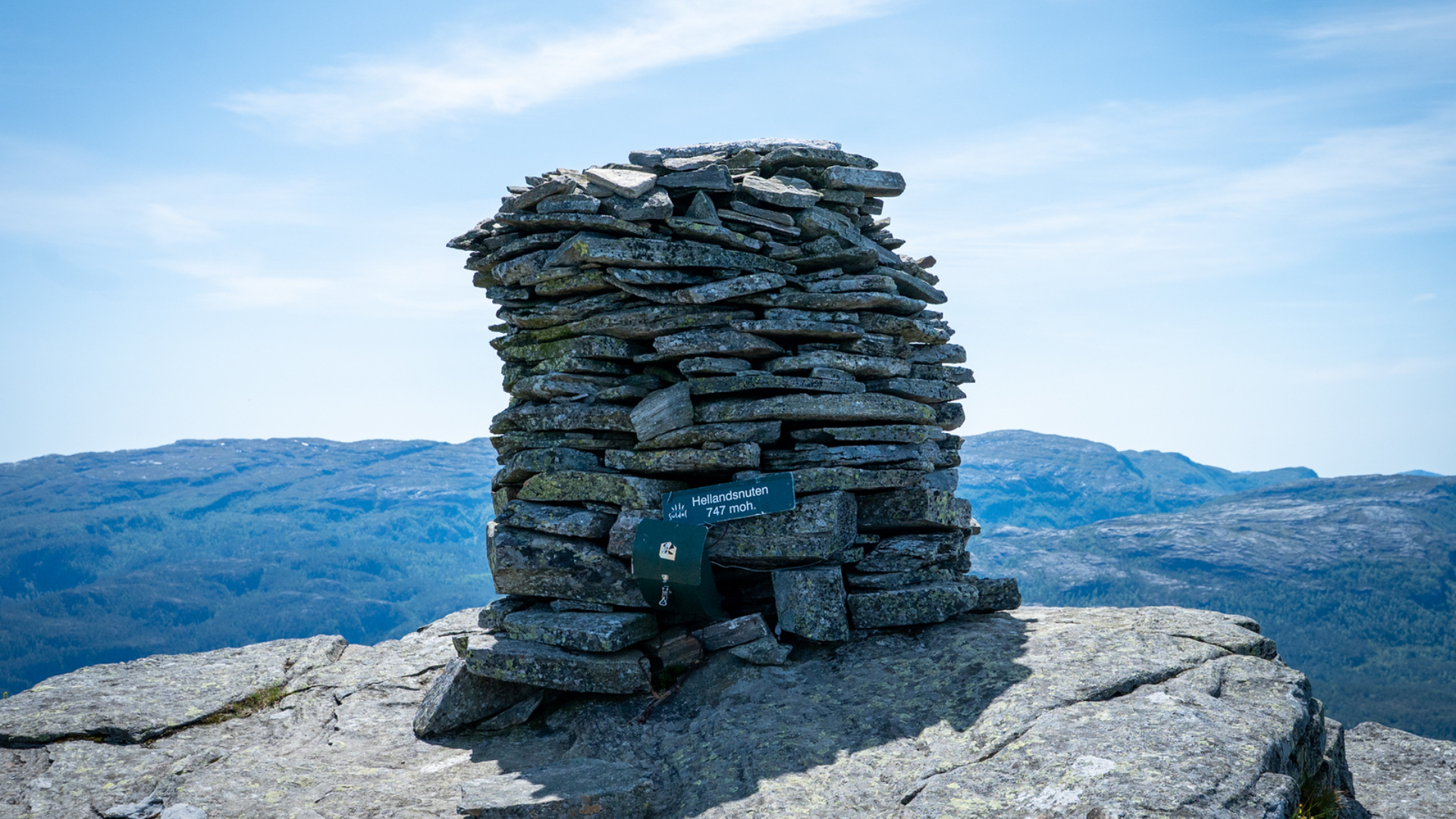
The highlight is Hellandsnuten (747 meters above sea level) with views over five fjords. The trails in the town center are well-maintained with paved and gravel paths.
Hiking Map Vanvik. Vanvik is an idyllic fjord hamlet in Hylsfjorden.
The hiking map provides an overview of great hikes in and around the hamlet, where Lølandsnuten is a popular hiking destination with beautiful views over the stunning fjord landscape.
Hiking Map Nesflaten. Nesflaten is a mountain village by Lake Suldalsvatnet along the National Tourist Route Ryfylke.
The hiking map features great hikes in and around the hamlet, where the distinctive mountain formation Nipe (707 meters above sea level) is the most popular hiking destination with views over the entire village.
Hiking Map Suldalsosen. Suldalsosen is located at the head of Suldal, where the Suldalslågen river flows into Lake Suldalsvatnet.
The hiking map provides an overview of scenic hikes in and around the idyllic hamlet by the lake and the river.
Hiking Map Ropeidhalvøya. Ropeidhalvøya is a rich fjord region with many great hiking opportunities.
The hiking map provides an overview of hiking trails and destinations in the area, where Grytenuten — the highest peak furthest out towards the coast — offers panoramic views towards the Ryfylke basin and the islands.
Hiking Map Erfjord. Erfjord is a beautiful fjord village in Suldal. The hiking map provides an overview of great hikes in and around the village.
A hike to Kammen is suitable for all ages and offers fantastic views over the fjord.
Gullingen Hiking Map. Gullingen is a high mountain area with an extensive network of hiking trails.
The hiking map provides an overview of enjoyable hikes in the high moorlands — perfect for families looking to explore together.
Jelsa Hiking Map. Jelsa is Ryfylke's best-preserved coastal village with a well-developed network of trails.
The hiking map provides an overview of trails close to the historic coastal village. Jelsa also has its own day-trip cabin.
No items found.


Gata 22, 4230 Sand (Summer season)
Sandsvegen 134, 4230 Sand (All year)
Tel: (+47) 995 63 001
E-mail: suldal@visitsuldal.no
















.jpg)











.jpg)