
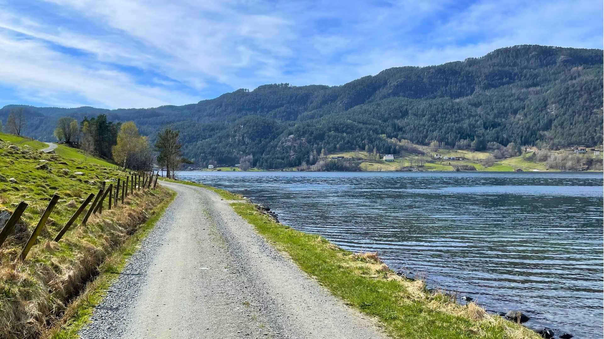
The hike can start from the west in Mehushaugen or from the east side from Suldalsosen or Veka (along the forest road via Longhaug), with a return along the same path or down the opposite side of the peak. The routes from both sides offer pleasant rest stops and viewpoints along the way.
The viewpoint Fisketjønsvardane deserves special mention and is most easily reached from the gas station at Suldalsosen. Remember to bring a packed lunch, binoculars, and a change of clothes (at least one extra dry top) in your backpack. Temperatures and wind conditions can vary significantly from the valley floor. The hiking season is primarily from late May through October, possibly November if snow and ice haven't settled on the peaks.
Parts of these routes, with endpoints at Prestastølen/Breidastølen or Gunntveitåsen, traverse coniferous forest terrain and can be completed in 2 – 3 hours. See sections 3a and 3b below.
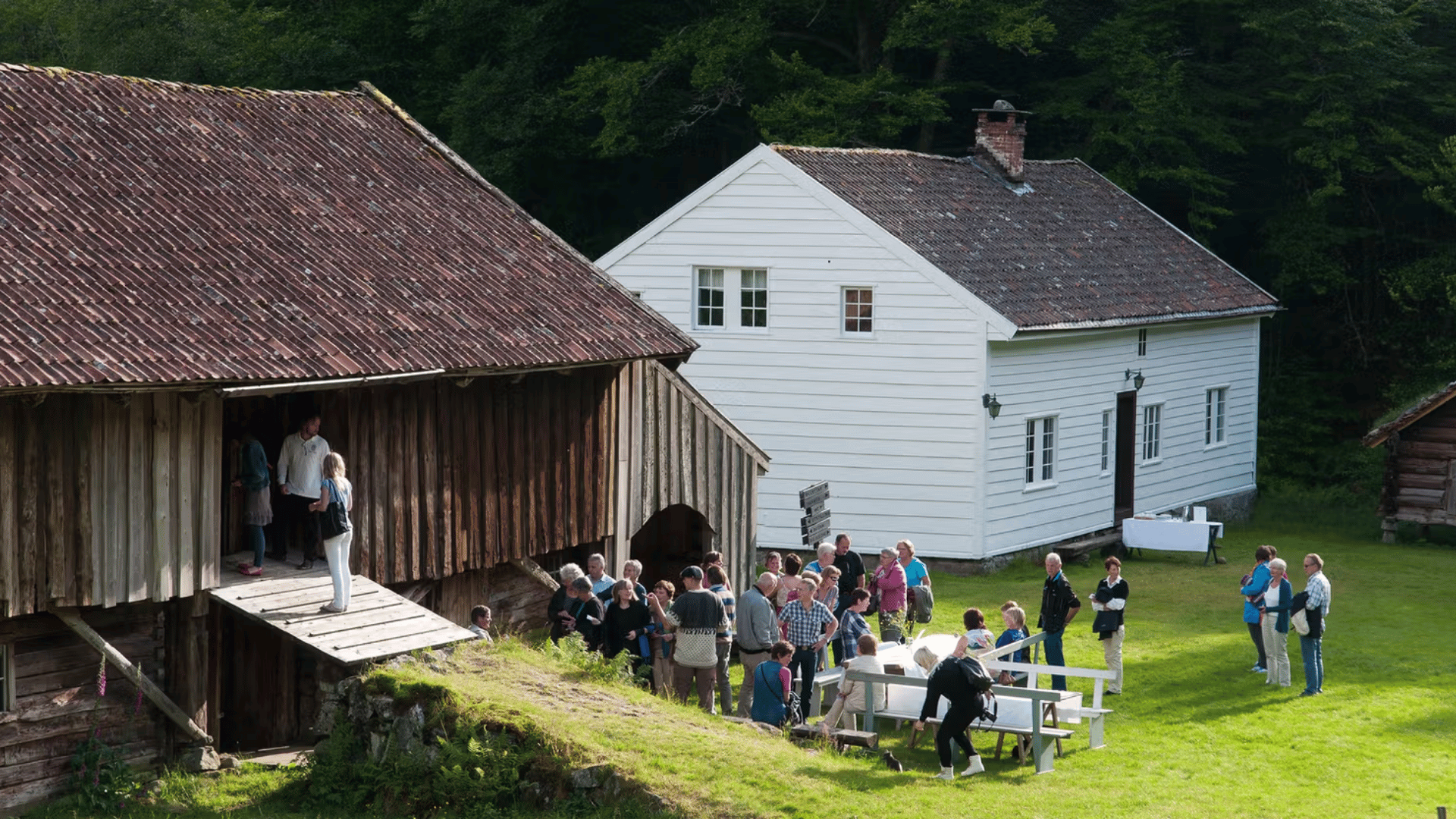
Follow the marked trail from the parking lot in Mehushaugen westward through grazing areas. The trail soon turns steeply north through a spruce forest. After a significant elevation gain on a stone-paved path, you reach Neraleite – a suitable first rest stop with good views towards Vinje/Suldalsosen. From here, the hike continues on a somewhat easier trail through mixed forest past Øvre Leite and on the slope above the idyllic Nyastøltjørna.
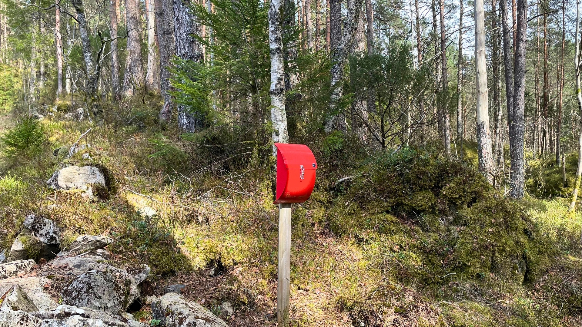
After rounding Torkelsnuten on your right and crossing the stream, you reach the next natural rest stop, Breidastølen/Prestastølen (550 m.a.s.l.), where the Sports Club has placed a visitor's book. From here, the hike ascends steeply up the birch-covered hillside towards Øvrestølen, located at the tree line (730 m.a.s.l.), offering good views to the southwest.
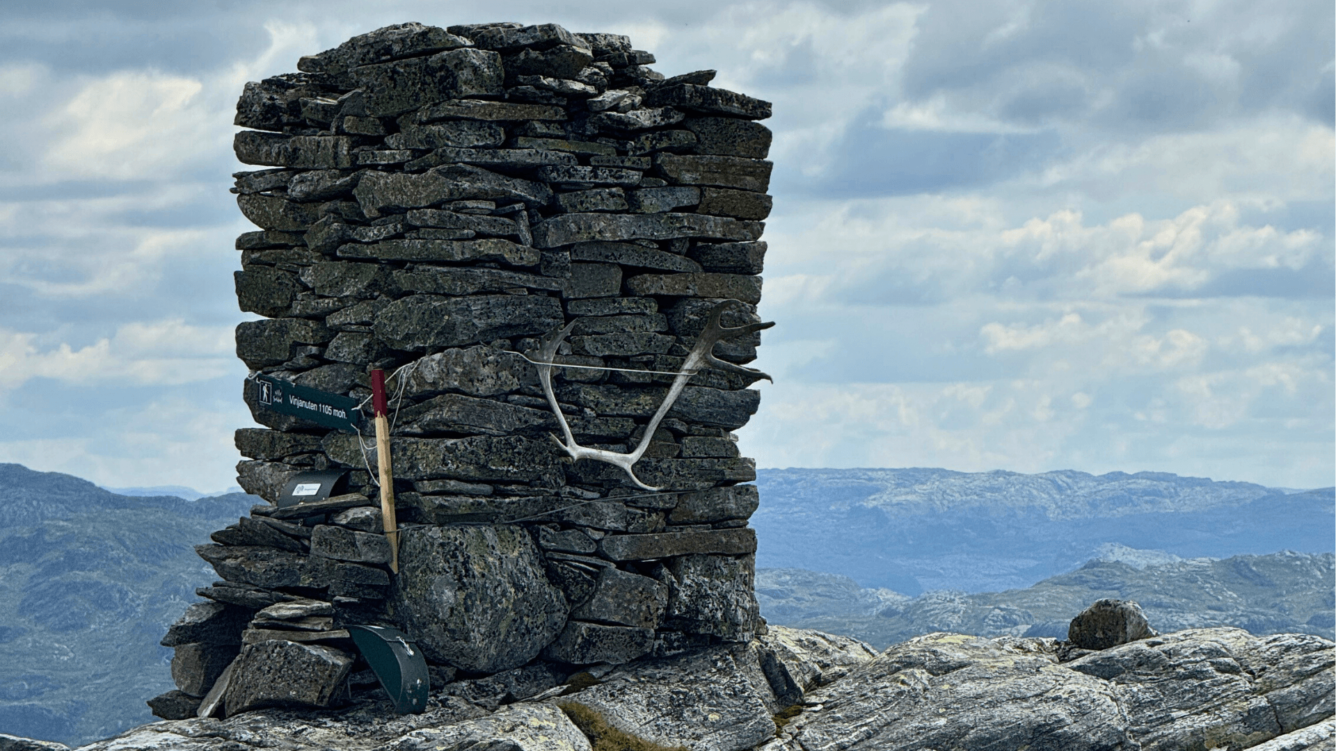
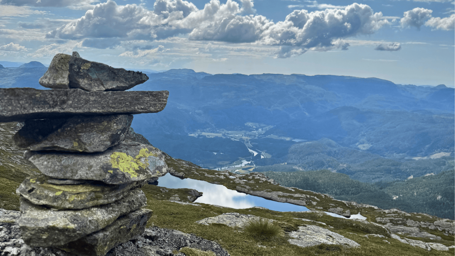
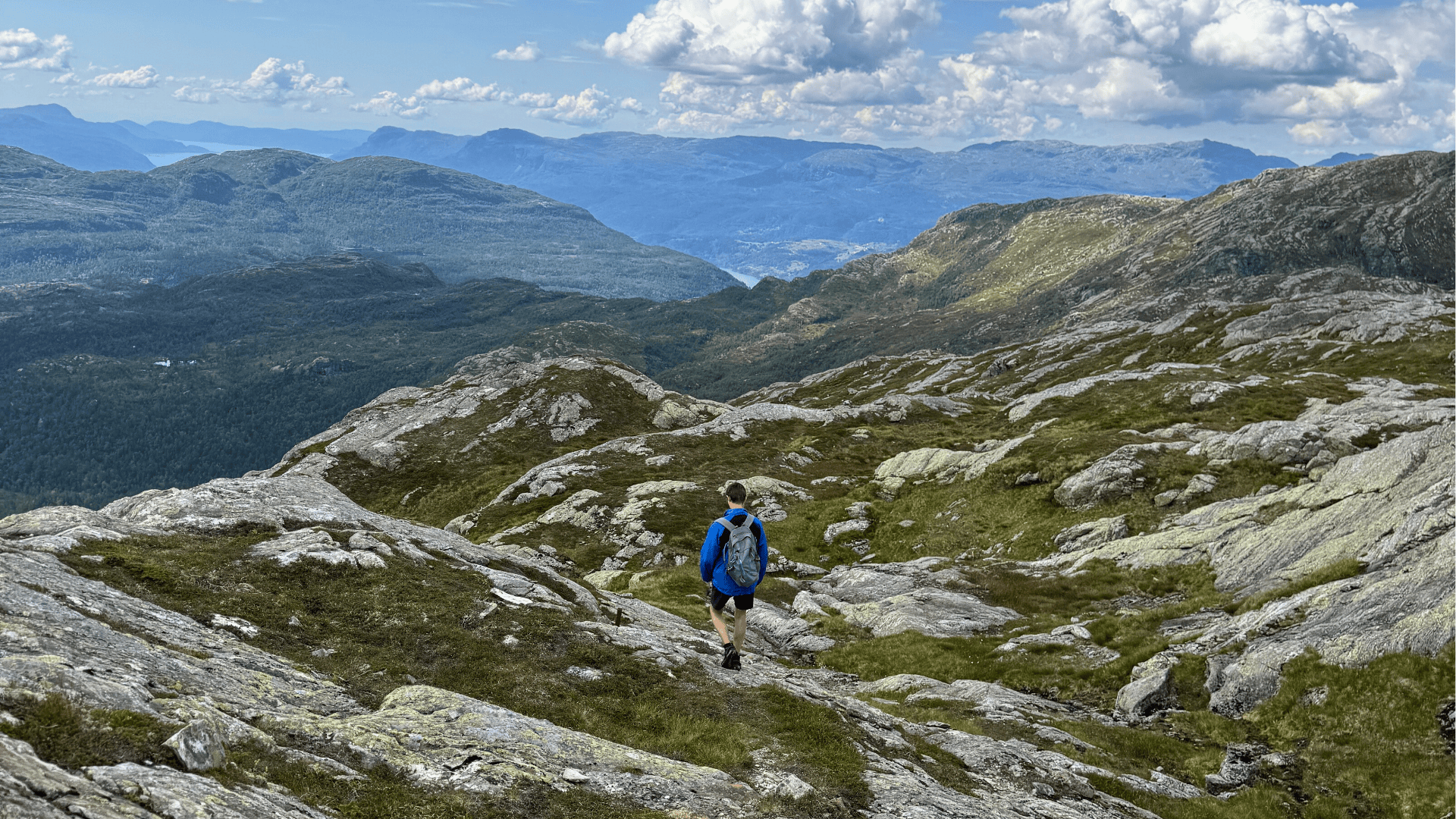
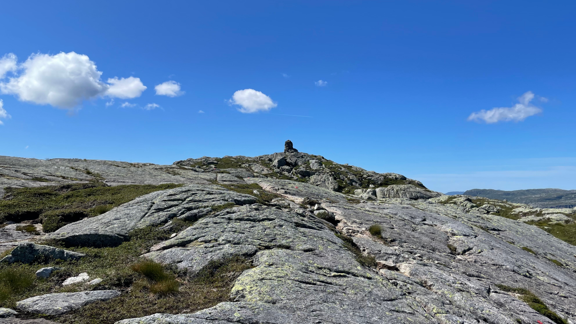
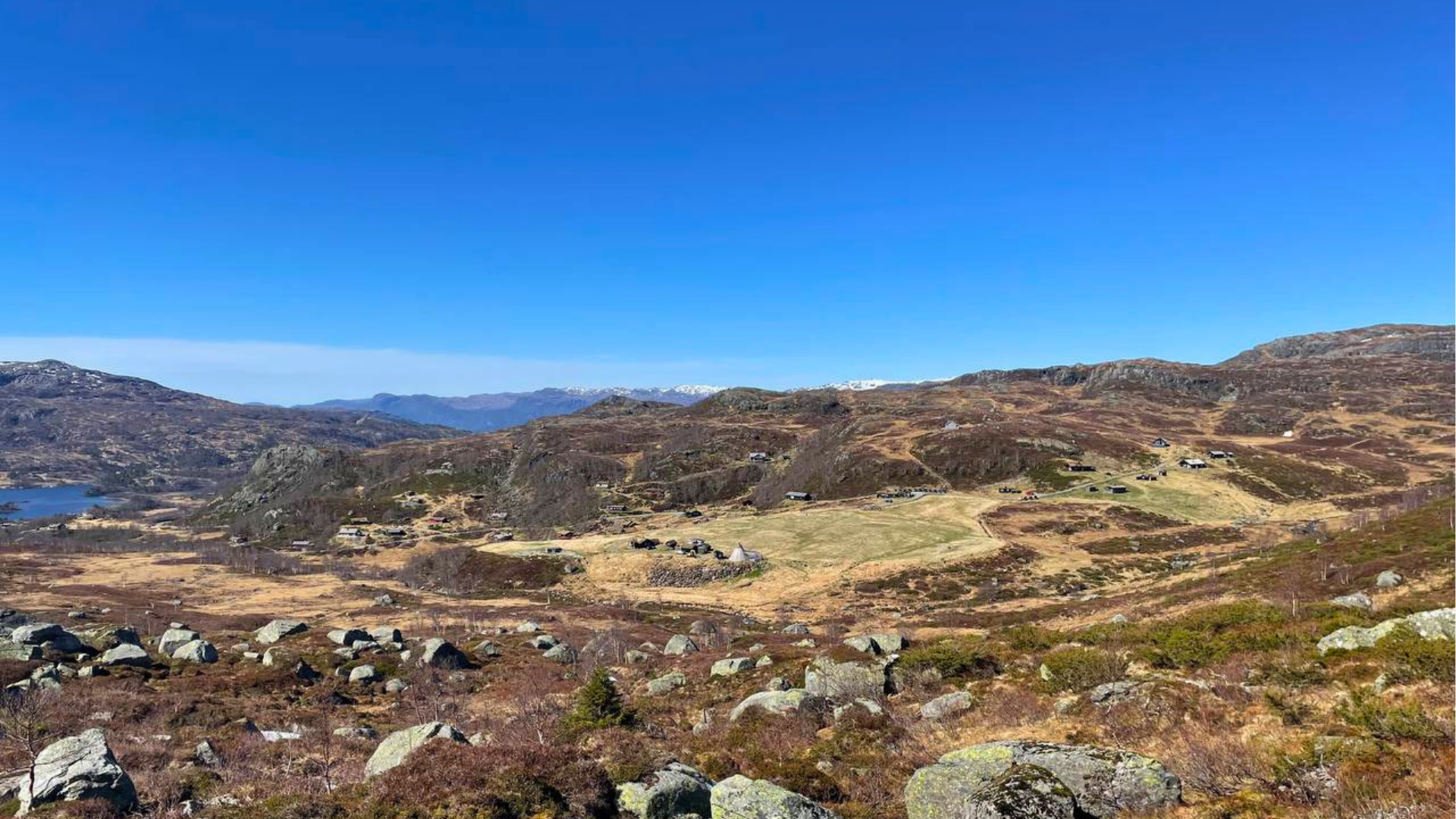
The ascent continues up to Vinjanuten at 1105 m.a.s.l., traversing barren mountain terrain with magnificent views over the valley to the southwest. Here, the terrain is quite "one-way" and the path makes many turns, so it pays to keep an eye on the markings as you ascend.
· Time: 6-7 hours,
· Distance: 11 km
· Difficulty: Very challenging (black)
· Highest point: 1105 m.a.s.l.
· Start: From the parking lot at Vinjar School or at the end of the road in Mehushaugen
· Access: By bus from Sand or by private car to Vinjar School/Mehushaugen.
From the east side of the gas station at Suldalsosen, follow the forest road behind the residential area past Tjødnarbotnen and up to a crossroads. There, follow the marked trail further towards Gunntveitåsen. In the middle of the pine forest in Tømmerdalen, there is a trail junction where both alternatives are signposted towards Gunntveitåsen. The two routes meet at the entrance to Glompadalen (725 m.a.s.l.) and continue as one trail towards Fisketjønsvardane and Vinjanuten, the western one via Kruko and then steeply up to the left towards Glompo/Glompadalen. Slightly above the junction at Kruko, there is a new junction westward as a detour (approx. 1 km) towards the viewpoint Tinden and eastward up to Glompo.
The eastern route goes via Gunntveitåsen (visitor's book 415 m.a.s.l.) and continues down to the marshes behind the ridge in the direction of Veka-åna and the forest road towards Longhaug. The Vinjanut trail follows the west side of the river gorge steeply upwards for a good stretch before crossing and following the marked trail through mixed pine and birch forest between the two western streams that converge into Vekaåna further down. The trail passes east of the western intake for Veka power station and is soon above the tree line at approximately 700 meters. Now there is only a short but steep climb past a nice "insta-friendly" swimming hole with a waterfall until the trail enters calmer terrain over Glompo and into Glompadalen towards Fisketjønnsvardane (905 m.a.s.l.).
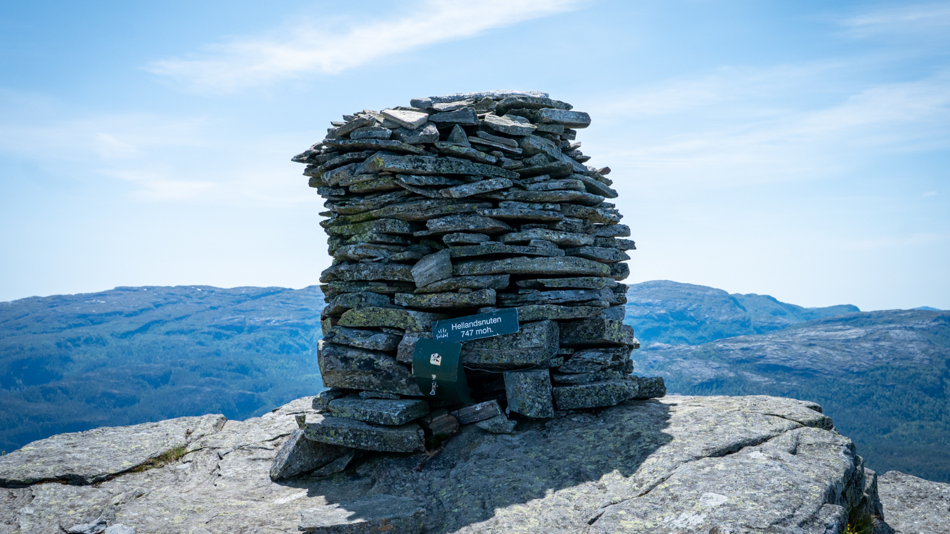
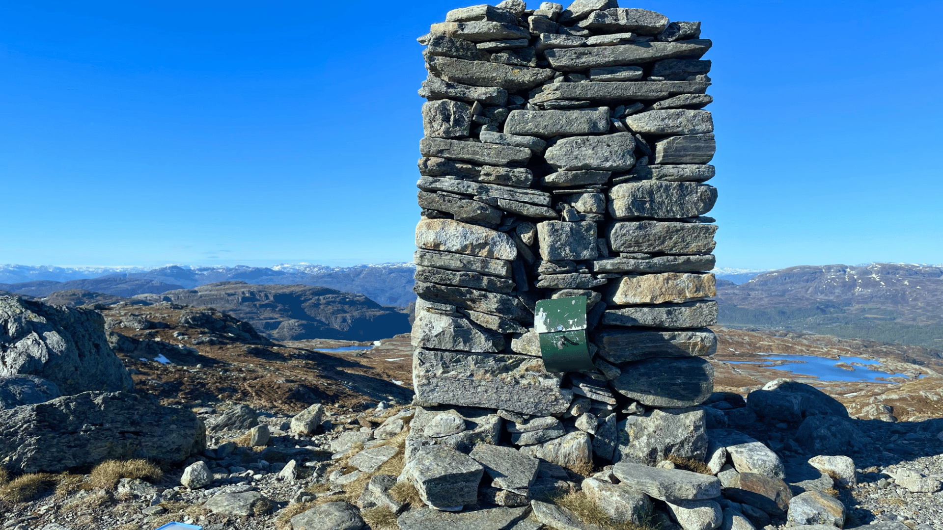
At the latter, there is a new visitor's book and panoramic views in all directions except north. Particularly, the view over the valley from Kvilldal to Førland is spectacular and well worth a longer rest and a breather. With good binoculars, you might follow a football match on the field in Prestavikjo, a salmon fisherman in one of the many pools in Lågen, or a group of motorcycle enthusiasts making good progress up or down the valley. After the rest, your legs should be ready for the final 200 meters of ascent towards the large cairn on Vinjanuten (1105 m.a.s.l.). The trail here traverses steep barren mountain, but without difficult climbing sections.
· Time: 6-7 hours,
· Distance: 11 km
· Difficulty: Very challenging (black)
· Highest point: 1105 m.a.s.l.
· Start: Easiest route: up the forest road from the east side of the gas station, alternatively (on a forest path up from the east side of Coop's warehouse building. The two routes meet at a crossroads above Tjødnarbotnen with a sign for Gunntveitåsen 1.7 km.
· Access: By bus from Sand or by car to Suldalsosen (By the Coop store or the gas station 0.5 km further east)
In both cases, you must have enough energy left for a good 1 km walk back to the starting point along the bike path between the stores and Vinjar School. The round trip option offers the greatest "return" on the elevation gain in the form of many varied visual impressions.
· Time: 7 hours,
· Distance: 12 km
· Difficulty: Very challenging (black)
· Highest point: 1105 m.a.s.l.
· Start: Up the forest road from the east side of the gas station in Suldalsosen or from Vinjar School via Mehushaugen
· Access: By bus from Sand or by car to Vinjar school or Suldalsosen (By the Coop store or the gas station 0.5 km further east)
From the east side of the gas station in Suldalsosen, follow the forest road behind the residential area past Tjødnarbotnen and up to a crossroads. There, follow the marked trail further towards Gunntveitåsen. In the middle of the pine forest in Tømmerdalen, there is a trail junction where both alternatives are signposted towards Gunntveitåsen. The western route over Kruko is easier to walk than the eastern one, but slightly longer.
Where the trail flattens out at Kruko, you pass a trail junction where the path to the left continues towards Tinden and Vinjanuten, while the path straight ahead/to the right goes along the right side of a marshy area towards Gunntveitåsen, which is the endpoint of this hike. The eastern route ascends steeply and eventually follows a stream up to the marshy area below Gunntveitåsen, where the trail rejoins the western route below the bluff that must be traversed/climbed up to the summit logbook on Gunntveitåsen.
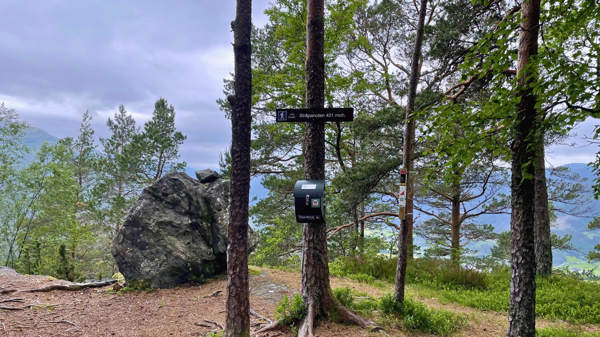
Before the final climb to the summit, you can turn right and walk approximately 100 m to a viewpoint overlooking the valley/Suldalsosen. The return trip can be along the same route as the ascent or the other route towards Tømmerdalen.
· Time: 2 hours,
· Distance: 5 km
· Difficulty: Moderate (blue)
· Highest point: 415 m
· Start: Up the forest road from the east side of the gas station or Coop Lagerbygg in Suldalsosen
· Access: By bus from Sand or by private car to Vinjar school or Suldalsosen (By the Coop store or the gas station 0.5 km further east)
Follow the marked trail from the parking lot in Mehushaugen westwards through alternating pastureland and mixed forest terrain. The trail soon turns steeply north through a spruce forest. After a good number of meters in elevation on a stone-paved trail, you reach Neraleite – a suitable first resting spot with good views towards Vinje/Suldalsosen.
From here, the hike continues on a somewhat easier trail through mixed forest, past Øvre Leite and on a slope above the idyllic Nyastøltjørna. After rounding Torkelsnuten on the right and crossing the stream, you reach Breidastølen/Prestastølen (550 m.a.s.l.) where the Sports Club has placed a guest book. Return via the same route.
· Time: 3 hours,
· Distance: 6 km
· Difficulty: Demanding (red)
· Highest point: 560 m
· Start: On an asphalt road from Vinjar School or drive/cycle to the turning point in Mehushaugen
· Access: By bus from Sand or by private car to Vinjar school (or Mehushaugen turning point)


Experience authentic flavors at Kulp Bistro, Sand: Enjoy local delicacies, homemade dinner, and perhaps you'd be tempted by a burger? Perfect for family and friends.


Experience Ryfylke Fjordhotell in Sand, a perfect base for fjord views, culture, and activities. Enjoy local delicacies and magical experiences!

Drøs is located in the heart of the beach town Sand, with both indoor and outdoor seating. Here you'll find modern and fresh flavors combined with traditional cuisine!


Gata 22, 4230 Sand (Summer season)
Sandsvegen 134, 4230 Sand (All year)
Tel: (+47) 995 63 001
E-mail: suldal@visitsuldal.no




.jpg)













.jpg)










.jpg)


