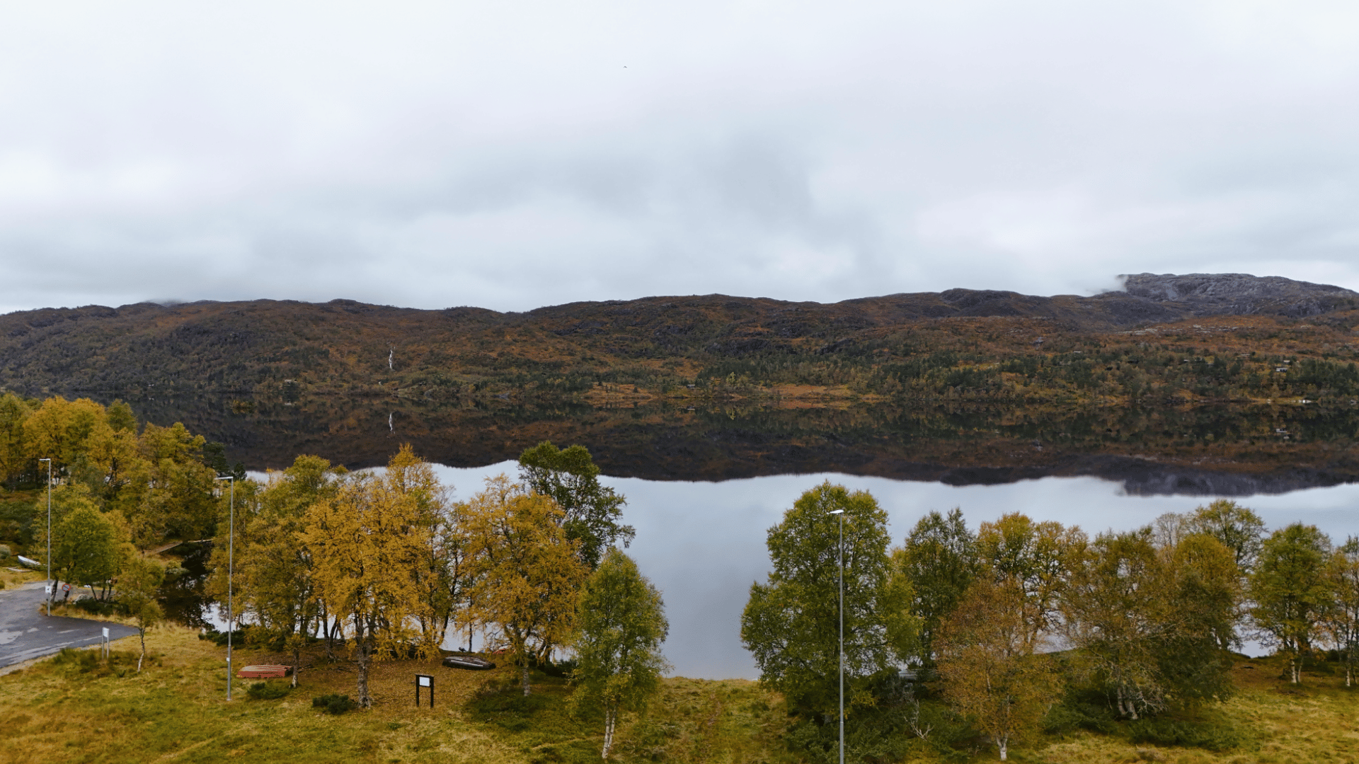
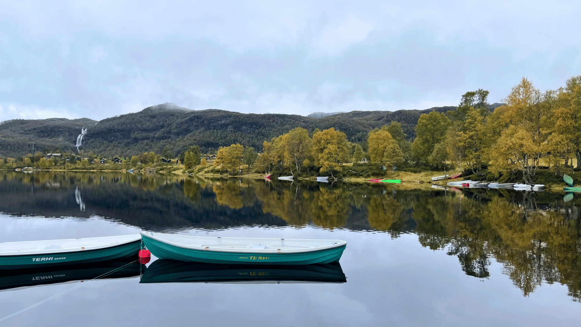
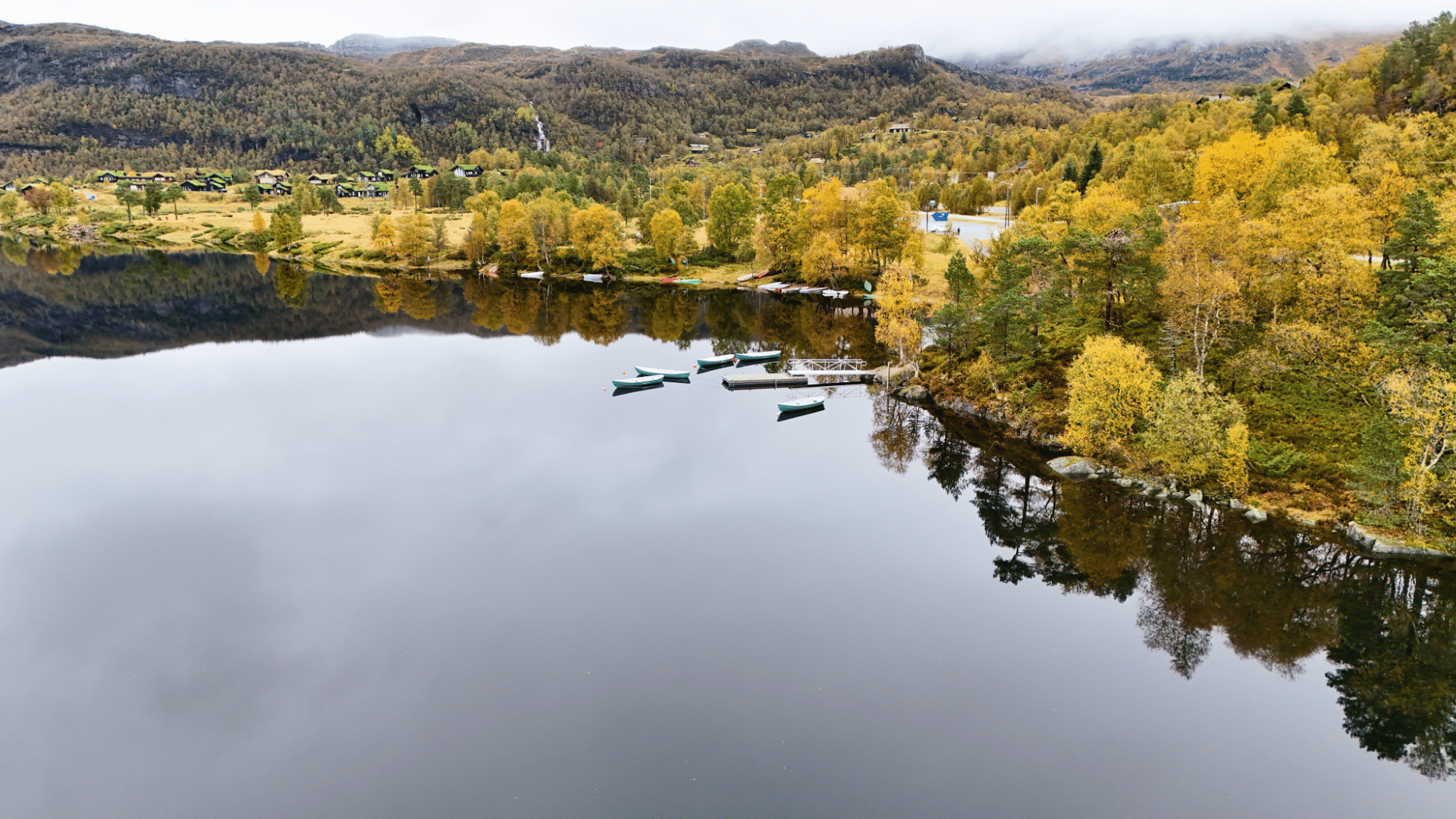
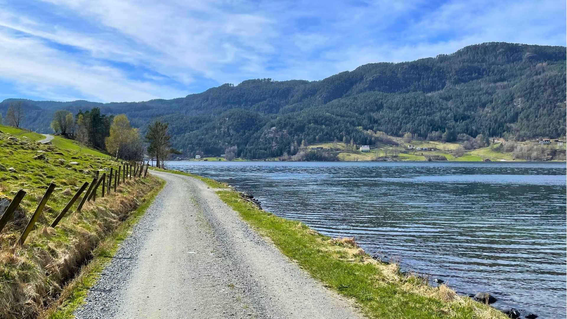
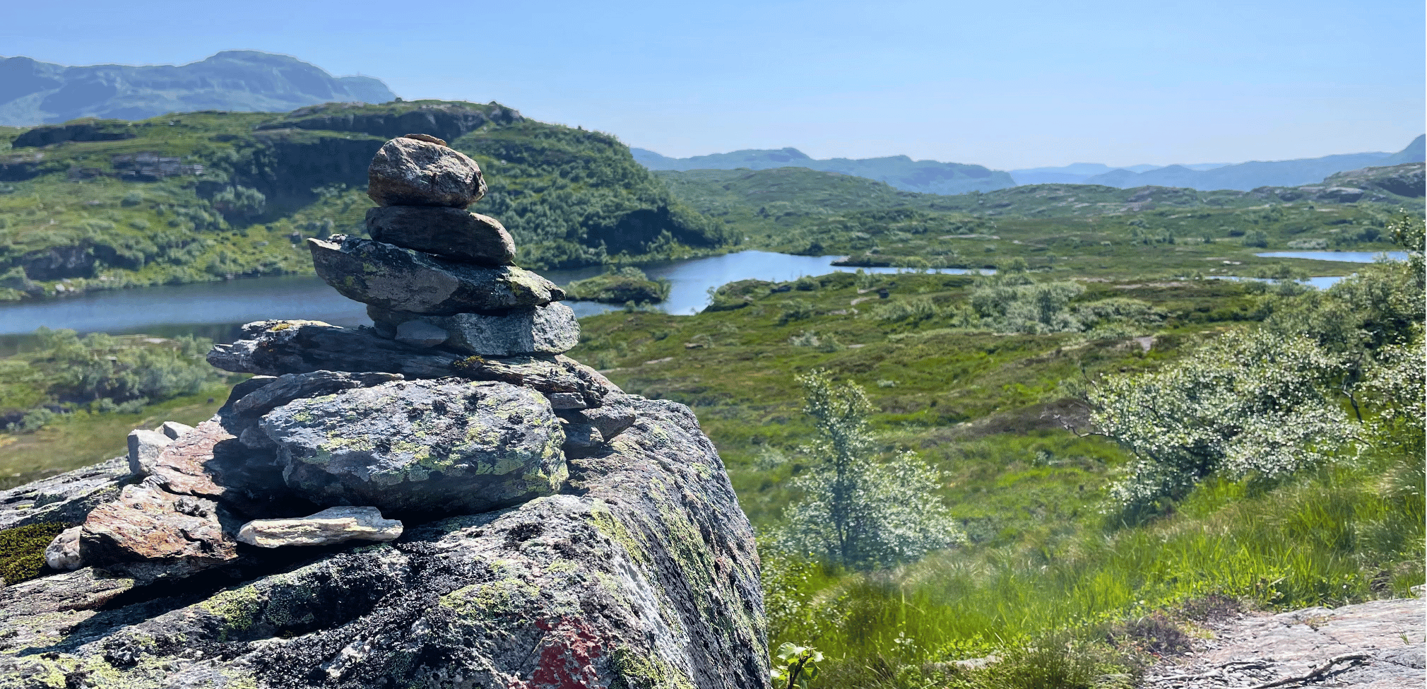
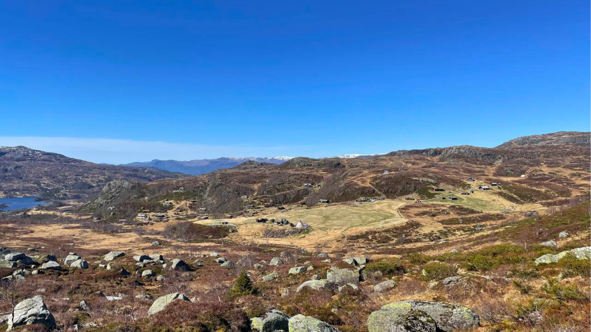
Mosvatnet lies in the heart of the Gullingen area, surrounded by mountain birch forests and open marshes at nearly 700 meters above sea level. The circular route around the lake is one of the most accessible and beautiful hikes in the Ryfylke mountains — with a tranquil character that is perfect for those who want to spend time outdoors without taking on a demanding summit hike.
The landscape around Mosvatnet carries a long history. Stone Age people hunted here over 4,500 years ago — researchers have found thousands of flint flakes on a small flat area by the lake. The Vikings extracted iron ore in the same area. In the 1980s, Gullingen became home to Northern Europe's largest hydroelectric development, Ulla-Førre. Today, sheep graze on the open mountain plateaus, and the trails are ready for anyone who wants to explore.
The vegetation is dominated by mountain birch forests and open marshland. Hares, foxes, and moose are all common sights — especially during the quiet morning and evening hours. There are good opportunities for fishing in the lake.
Links
Gullingen hiking map
Gullingen Tourist Center
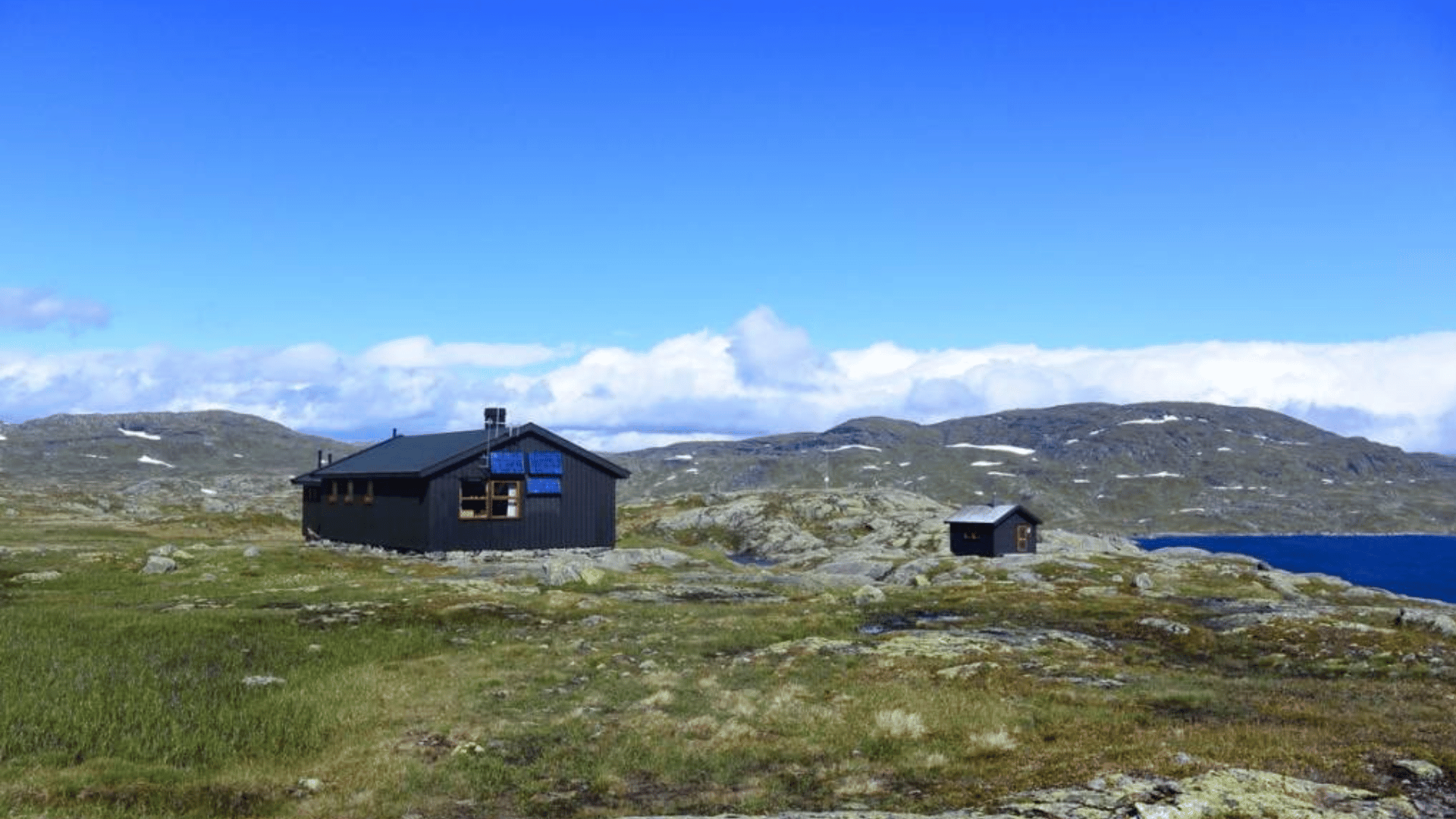
Stranddalshytta
Fact box
Distance: 8 km
Grading: Moderate (blue)
Season: May – October
Parking: Gullingen Tourist Center or Gullingenhuset by Mosvatnet
Access: Turn off from RV 13 towards Gullingen — 30 minutes from Sand
Fishing: Possible in Mosvatnet — remember to buy a fishing license via iNatur
Leash requirement: April 1 – November 1


Stay in the heart of Sand in a historic building from 1890, above the urban café Drøs.


Gata 22, 4230 Sand (Summer season)
Sandsvegen 134, 4230 Sand (All year)
Tel: (+47) 995 63 001
E-mail: suldal@visitsuldal.no


.jpg)


.jpg)













.jpg)











.jpg)